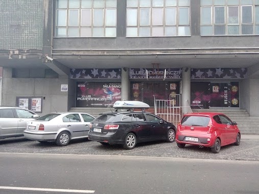
Night club nearby Bufet A. Pękalska
Poland
Night club nearby Bufet A. Pękalska
Bufet A. Pękalska
Jagiellońska 28, Katowice Poland
contacts phone
:
+48
Latitude:
50.2544368
, Longitude:
19.0239151
read more
nearest Night club
168 m
Jazz Club Hipnoza
plac Sejmu Śląskiego 2, Katowice
Night club
read more
258 m
Energy 2000
Plebiscytowa 3, Katowice
Night club
read more
368 m
Ministry Herring and vodka
Mariacka 4, Katowice
Night club
read more
368 m
Ministerstwo Śledzia i Wódki
Mariacka 4, Katowice
Night club
read more
372 m
Manhattan
Mariacka 6, Katowice
Night club
read more
387 m
Klub DISCO
Wita Stwosza 3, Katowice
Night club
read more
445 m
Club Capitol
Mariacka 31, Katowice
Night club
read more
458 m
Upojeni
Świętego Jana 10, Katowice
Night club
read more
517 m
Blue Box
Krzywa 2, Katowice
Night club
read more
530 m
Night Club Royal
Warszawska 31, Katowice
Night club
read more
600 m
Beta House
Drzymały 9, Katowice
Night club
read more
625 m
Club Marquee
Galeria Handlowa Skarbek, Mickiewicza 4, Katowice
Night club
read more
625 m
Klub Marquee
Mickiewicza 4, Katowice
Night club
read more
625 m
Klub Marquee
Galeria Handlowa Skarbek, Mickiewicza 4, Katowice
Night club
read more
778 m
Night Club Blue Velvet
3 Maja 23, Katowice
Night club
read more
802 m
Klub Nocny Afrodyta
3 Maja 34, Katowice
Night club
read more
817 m
Foodport A4 - zajezdnia food trucków
Sowińskiego 13, Katowice
Night club
read more
849 m
Klub Pomarańcza Katowice
Matejki 3, Katowice
Night club
read more
868 m
HaH
Sądowa 9, Katowice
Night club
read more
896 m
Shisha Sultan Club
plac Wolności 14, Katowice
Night club
read more
901 m
Wahadło. Klub studencki Politechniki Śląskiej
Graniczna 12, Katowice
Night club
read more
1.041 km
Night Club Hasta La Vista
plac Wolności 6, Katowice
Night club
read more
1.195 km
LONGWAY
Gliwicka 10, Katowice
Night club
read more
1.197 km
Endorfina
Sobieskiego 11, Katowice
Night club
read more
1.237 km
Spiż Katowice
Opolska 22, Katowice
Night club
read more
📑
all categories
Accounting
Administrative area level 1
Administrative area level 2
Airport
Amusement park
Aquarium
Art gallery
Atm
Bakery
Bank
Bar
Beauty salon
Bicycle store
Book store
Bowling alley
Bus station
Cafe
Campground
Car dealer
Car rental
Car repair
Car wash
Casino
Cemetery
Church
City hall
Clothing store
Colloquial area
Convenience store
Courthouse
Dentist
Department store
Doctor
Electrician
Electronics store
Embassy
Finance
Fire station
Florist
Food
Funeral home
Furniture store
Gas station
General contractor
Grocery or supermarket
Gym
Hair care
Hardware store
Health
Hindu Temple
Home goods store
Hospital
Insurance agency
Intersection
Jewelry store
Laundry
Lawyer
Library
Light rail station
Liquor store
Local government office
Locality
Locksmith
Lodging
Meal delivery
Meal takeaway
Mosque
Movie rental
Movie theater
Moving company
Museum
Natural feature
Neighborhood
Night club
Painter
Park
Parking
Pet store
Pharmacy
Physiotherapist
Place of worship
Plumber
Point of interest
Police
Political
Post office
Premise
Real estate agency
Restaurant
Roofing contractor
Route
Rv park, camping
School
Shoe store
Shopping mall
Spa
Stadium
Storage
Store
Subpremise
Subway station
Supermarket
Synagogue
Taxi stand
Train station
Transit station
Travel agency
University
Veterinary care
Zoo
administrative area level 3
sublocality level 1
↑