Bar nearby LANCZUJEM
Poland
Bar nearby LANCZUJEM
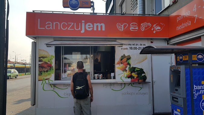
LANCZUJEM
30D, Zgoda, 60-101, Poznań, Poznań, PL Poland
contacts phone
:
+48 530 503 203
Latitude:
52.3817672
, Longitude:
16.8804972
larger map & directions
read more
nearest Bar
698 m
Fiesta del Vino Tapas Bar Winiarnia Poznań Wina Poznań
Czechosłowacka 106, Poznań
Bar
read more
934 m
ChieF catering
Newtona 2, Poznań
Bar
read more
1.202 km
Bar Cykoria
Palacza 103, Poznań
Bar
read more
1.363 km
Steff Pub
21, Chociszewskiego, Poznań
Bar
read more
1.634 km
Arena Park
Jarochowskiego 32, Poznań
Bar
read more
1.647 km
u Radzia
Olszynka 1, Poznań
Bar
read more
1.732 km
Bar Aga Jaga
Górecka 1, Poznań
Bar
read more
1.86 km
Klub Master
Opolska 5, Poznań
Bar
read more
1.866 km
Aga-Jaga
Grunwaldzka 100, Poznań
Bar
read more
1.943 km
Alle!Burger
Jawornicka 8, Poznań
Bar
read more
2.082 km
Ask Bar
71, Głogowska, Poznań
Bar
read more
2.219 km
Winiarnia Barrio
Stanisława Wyspiańskiego 13, Poznań
Bar
read more
2.219 km
Winiarnia Barrio
Wyspiańskiego 13, Poznań
Bar
read more
2.3 km
Gra
Graniczna, Poznań
Bar
read more
2.322 km
Bachanalia Świat Win
Berwińskiego 1, Poznań
Bar
read more
2.386 km
Bistro Wyspa Smaków
Bułgarska 55, Poznań
Bar
read more
2.521 km
Bar & Grill & Pub Stodoła
28 Czerwca 1956 r. 159, Poznań
Bar
read more
3.187 km
Grundela
Poznań, Dębina las
Bar
read more
3.212 km
Los Pollos
Świętego Czesława 15, Poznań
Bar
read more
3.37 km
Green Way
Zeylanda 6, Poznań
Bar
read more
3.501 km
Bar u Jędrusia
Dworcowa, Poznań
Bar
read more
3.516 km
MUS Bar & View
Roosevelta 22, Poznań
Bar
read more
3.517 km
Fort Colomb
Poznań, ul. Powstańców Wlkp, Poznań
Bar
read more
3.695 km
Sport Club Poznań
plac Andersa 1, Poznań
Bar
read more
3.938 km
Juicy Kuchnia Roślinna
Taczaka 22, Poznań
Bar
read more
📑
all categories
Accounting
Administrative area level 1
Administrative area level 2
Airport
Amusement park
Aquarium
Art gallery
Atm
Bakery
Bank
Bar
Beauty salon
Bicycle store
Book store
Bowling alley
Bus station
Cafe
Campground
Car dealer
Car rental
Car repair
Car wash
Casino
Cemetery
Church
City hall
Clothing store
Colloquial area
Convenience store
Courthouse
Dentist
Department store
Doctor
Electrician
Electronics store
Embassy
Finance
Fire station
Florist
Food
Funeral home
Furniture store
Gas station
General contractor
Grocery or supermarket
Gym
Hair care
Hardware store
Health
Hindu Temple
Home goods store
Hospital
Insurance agency
Intersection
Jewelry store
Laundry
Lawyer
Library
Light rail station
Liquor store
Local government office
Locality
Locksmith
Lodging
Meal delivery
Meal takeaway
Mosque
Movie rental
Movie theater
Moving company
Museum
Natural feature
Neighborhood
Night club
Painter
Park
Parking
Pet store
Pharmacy
Physiotherapist
Place of worship
Plumber
Point of interest
Police
Political
Post office
Premise
Real estate agency
Restaurant
Roofing contractor
Route
Rv park, camping
School
Shoe store
Shopping mall
Spa
Stadium
Storage
Store
Subpremise
Subway station
Supermarket
Synagogue
Taxi stand
Train station
Transit station
Travel agency
University
Veterinary care
Zoo
administrative area level 3
sublocality level 1
↑