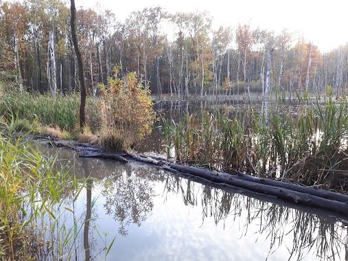
Park nearby SZAŁ CIAŁ gabinet masażu i kosmetyki
Coronavirus disease (COVID-19) Situation
confirmed cases
6661991
deaths
120598
Poland
Park nearby SZAŁ CIAŁ gabinet masażu i kosmetyki
SZAŁ CIAŁ gabinet masażu i kosmetyki
Piłsudskiego, Javožno, Plebiscytowa 70, Mysłowice Polska
contacts phone
:
+48
Latitude:
50.180779
, Longitude:
19.124348
read more
nearest Park
2.109 km
Architektura Zielona As. Zakładanie ogrodów, usługi brukarskie
Cicha 3A, Mysłowice
Park
read more
3.261 km
Płone Bagno
Katowice
Park
read more
3.806 km
Skwer miejski
Jana Christiana Ruberga, Lędziny
Park
read more
4.003 km
R.O.D. „ WESOŁA “
ul.3-go Maja 69a, Mysłowice
Park
read more
4.281 km
Skwer miejski
Hołdunowska, Lędziny
Park
read more
4.445 km
Park w brzęczkowicach
Mysłowice
Park
read more
5.118 km
Dolinka Murckowska
Katowice
Park
read more
5.55 km
Rozlewisko
Droga Leśna, Katowice
Park
read more
5.653 km
ROD im Staszica
Kosmiczna, Katowice
Park
read more
5.916 km
Skwer miejski
Lędzińska, Lędziny
Park
read more
6.097 km
Park Giszowiecki
Katowice
Park
read more
6.397 km
Park KWK Staszic
Katowice
Park
read more
9.146 km
Park Olimpijczyków
Wypoczynkowa, Katowice
Park
read more
9.384 km
Teren spacerowy
Pułaskiego, Katowice
Park
read more
9.616 km
skwer Walentego Roździeńskiego
Katowice
Park
read more
10.461 km
Former Evangelical-Augsburg Cemetery
Damrota, Katowice
Park
read more
11.793 km
Park Żeromskiego
Stefana Żeromskiego, Sosnowiec
Park
read more
12.056 km
Rodzinny Ogród Działkowy im. Stanisława Staszica w Sosnowcu
Sosnowiec
Park
read more
12.458 km
skwer Stanisława Barei
Katowice
Park
read more
12.625 km
Serwis Techniczny Sprzętu Ogrodniczego
Sumów 12, Katowice
Park
read more
13.376 km
ROD Malina
Malinowa 29, Tychy
Park
read more
13.566 km
ROD Pod Lasem
Unnamed Road, Tychy
Park
read more
13.802 km
Skwer Walentego Fojkisa
Katowice
Park
read more
13.968 km
ROD Węgielek
Skalna, Tychy
Park
read more
17.75 km
KOWALMOND - Ogrodzenia kute
Lipowa 10, Świętochłowice
Park
read more
📑
all categories
Accounting
Administrative area level 1
Administrative area level 2
Airport
Amusement park
Aquarium
Art gallery
Atm
Bakery
Bank
Bar
Beauty salon
Bicycle store
Book store
Bowling alley
Bus station
Cafe
Campground
Car dealer
Car rental
Car repair
Car wash
Casino
Cemetery
Church
City hall
Clothing store
Colloquial area
Convenience store
Courthouse
Dentist
Department store
Doctor
Electrician
Electronics store
Embassy
Finance
Fire station
Florist
Food
Funeral home
Furniture store
Gas station
General contractor
Grocery or supermarket
Gym
Hair care
Hardware store
Health
Hindu Temple
Home goods store
Hospital
Insurance agency
Intersection
Jewelry store
Laundry
Lawyer
Library
Light rail station
Liquor store
Local government office
Locality
Locksmith
Lodging
Meal delivery
Meal takeaway
Mosque
Movie rental
Movie theater
Moving company
Museum
Natural feature
Neighborhood
Night club
Painter
Park
Parking
Pet store
Pharmacy
Physiotherapist
Place of worship
Plumber
Point of interest
Police
Political
Post office
Premise
Real estate agency
Restaurant
Roofing contractor
Route
Rv park, camping
School
Shoe store
Shopping mall
Spa
Stadium
Storage
Store
Subpremise
Subway station
Supermarket
Synagogue
Taxi stand
Train station
Transit station
Travel agency
University
Veterinary care
Zoo
administrative area level 3
sublocality level 1
↑