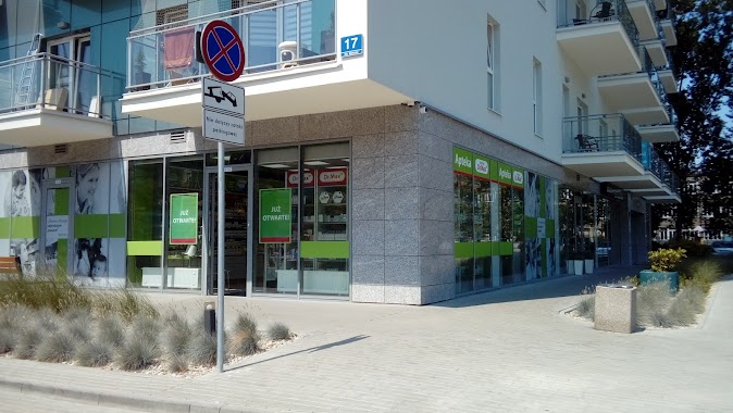
Pharmacy nearby Medicur sp.j. Apteka
Poland
Pharmacy nearby Medicur sp.j. Apteka
Medicur sp.j. Apteka
40, Generała Bora Komorowskiego, 80-377, Gdańsk, Gdańsk, PL Polska
contacts phone
:
+48 58 553 51 10
Latitude:
54.4090962
, Longitude:
18.5869893
larger map & directions
read more
nearest Pharmacy
334 m
Ebris.pl
Obrońców Wybrzeża 1, Gdańsk
Pharmacy
read more
334 m
Źródło Zdrowia. Apteka
Obrońców Wybrzeża 1, Gdańsk
Pharmacy
read more
361 m
Apteka Cosmedica
Czerwony Dwór 24, Gdańsk
Pharmacy
read more
418 m
Milenijna. Apteka
Bolesława Krzywoustego 25/4, Gdańsk
Pharmacy
read more
547 m
Super-Pharm
Alfa Cenrtum, Kołobrzeska 41C, Gdańsk
Pharmacy
read more
569 m
Apteka Gemini
Jagiellońska 4, Gdańsk
Pharmacy
read more
571 m
Św. Jana sp.j. Apteka
Jagiellońska 7, Gdańsk
Pharmacy
read more
606 m
Euro-Apteka Sp. z o.o.
Kołobrzeska 41, Gdańsk
Pharmacy
read more
644 m
Apteka Dyżurna
Kołobrzeska 32, Gdańsk
Pharmacy
read more
735 m
Apteka Dr.Max
Obrońców Wybrzeża 17, Gdańsk
Pharmacy
read more
783 m
Apteka Gemini
Obrońców Wybrzeża 2, Gdańsk
Pharmacy
read more
823 m
Apteka
Przymorze, Gdańsk
Pharmacy
read more
868 m
Piastowska. Apteka
Piastowska 90E, Gdańsk
Pharmacy
read more
883 m
Apteka Gemini
Kołobrzeska 63F, Gdańsk
Pharmacy
read more
914 m
Al-dar. PHU. Topór D.
Jagiellońska 10, Gdańsk
Pharmacy
read more
945 m
Apteka Dyżurna
Kołobrzeska 46, Gdańsk
Pharmacy
read more
1.074 km
Apteka Dom Leków
Opolska 3, Gdańsk
Pharmacy
read more
1.118 km
Pomorska. Apteka.
Pomorska 92, Gdańsk
Pharmacy
read more
1.136 km
Farmacja 24
aleja Grunwaldzka 471, Gdańsk
Pharmacy
read more
1.136 km
Halofarmacja Sp. z o.o.
aleja Grunwaldzka 471, Gdańsk
Pharmacy
read more
1.169 km
Apteka Pod Różą
lok. 14 w CH Familia, aleja Grunwaldzka 471, Gdańsk
Pharmacy
read more
1.62 km
Apteka Nasza
aleja Jana Pawła II 11C, Gdańsk
Pharmacy
read more
1.626 km
Dr. Max pharmacy
aleja Jana Pawła II 11B, Gdańsk
Pharmacy
read more
1.77 km
APTEKA DYŻURNA
aleja Jana Pawła II 50, Gdańsk
Pharmacy
read more
2.343 km
DOZ pharmacy care about health
Żwirki i Wigury 12 lok. 16, Gdańsk
Pharmacy
read more
📑
all categories
Accounting
Administrative area level 1
Administrative area level 2
Airport
Amusement park
Aquarium
Art gallery
Atm
Bakery
Bank
Bar
Beauty salon
Bicycle store
Book store
Bowling alley
Bus station
Cafe
Campground
Car dealer
Car rental
Car repair
Car wash
Casino
Cemetery
Church
City hall
Clothing store
Colloquial area
Convenience store
Courthouse
Dentist
Department store
Doctor
Electrician
Electronics store
Embassy
Finance
Fire station
Florist
Food
Funeral home
Furniture store
Gas station
General contractor
Grocery or supermarket
Gym
Hair care
Hardware store
Health
Hindu Temple
Home goods store
Hospital
Insurance agency
Intersection
Jewelry store
Laundry
Lawyer
Library
Light rail station
Liquor store
Local government office
Locality
Locksmith
Lodging
Meal delivery
Meal takeaway
Mosque
Movie rental
Movie theater
Moving company
Museum
Natural feature
Neighborhood
Night club
Painter
Park
Parking
Pet store
Pharmacy
Physiotherapist
Place of worship
Plumber
Point of interest
Police
Political
Post office
Premise
Real estate agency
Restaurant
Roofing contractor
Route
Rv park, camping
School
Shoe store
Shopping mall
Spa
Stadium
Storage
Store
Subpremise
Subway station
Supermarket
Synagogue
Taxi stand
Train station
Transit station
Travel agency
University
Veterinary care
Zoo
administrative area level 3
sublocality level 1
↑