Park nearby Park Rogoźnik
Poland
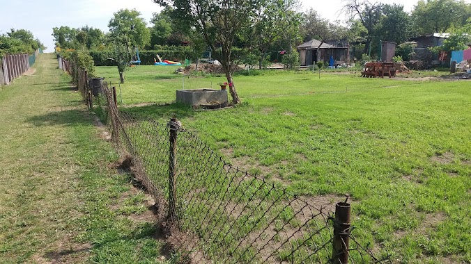
Park nearby Park Rogoźnik
Park Rogoźnik
42-582 Rogoźnik, Poland
contacts phone
:
+48
Latitude:
50.3961741
, Longitude:
19.0284062
larger map & directions
read more
nearest Park
1.067 km
Park Górny
Rogoźnik
Park
read more
3.064 km
Park Wojkowice
Plaka 28, Wojkowice
Park
read more
3.577 km
Bekasowa Łąka
Polna, Piekary Śląskie
Park
read more
3.782 km
Dolina Brynicy
Piekary Śląskie
Park
read more
3.902 km
Siewierka Startowisko Paralotniowe
Góra Siewierska
Park
read more
3.967 km
ROD "Barbara" in Piekary Slaskie
Kamienna, Piekary Śląskie
Park
read more
3.967 km
ROD Barbara w Piekarach Śląskich
Kamienna, Piekary Śląskie
Park
read more
4.384 km
Teren Rekreacyjny
Szmaragdowa, Piekary Śląskie
Park
read more
4.409 km
Park
Stanisława Wyspiańskiego 2B, Piekary Śląskie
Park
read more
4.414 km
P.O.D. Ustronie
Słoneczna 20, Piekary Śląskie
Park
read more
4.457 km
Rodzinne Ogródki Działkowe - USTRONIE
Słoneczna, Piekary Śląskie
Park
read more
4.536 km
R.O.D. Brzoza Śląska
Jana Brzechwy, Piekary Śląskie
Park
read more
4.57 km
Usługi Ogrodnicze Raflex
Bursztynowa 14, Piekary Śląskie
Park
read more
4.807 km
Las Dioblina
Piekary Śląskie
Park
read more
5.045 km
R.O.D GÓRNIK
Marii Curie-Skłodowskiej 41-949, Piekary Śląskie
Park
read more
5.938 km
Kajakownia
Świerklaniec
Park
read more
6.01 km
Park Góra Kalwaria
Piekary Śląskie
Park
read more
8.583 km
Las Grodziecki
Będzin
Park
read more
8.935 km
Dinosaurierpark
Siemianowice Slaskie
Park
read more
10.311 km
Rzeźby Czapli
Bytom
Park
read more
12.428 km
Skwer Walentego Fojkisa
Katowice
Park
read more
13.615 km
Plac Niepodległości
Godula, 41-700
Park
read more
14.353 km
Park Żeromskiego
Stefana Żeromskiego, Sosnowiec
Park
read more
14.921 km
skwer Stanisława Barei
Katowice
Park
read more
15.448 km
Rodzinny Ogród Działkowy im. Stanisława Staszica w Sosnowcu
Sosnowiec
Park
read more
📑
all categories
Accounting
Administrative area level 1
Administrative area level 2
Airport
Amusement park
Aquarium
Art gallery
Atm
Bakery
Bank
Bar
Beauty salon
Bicycle store
Book store
Bowling alley
Bus station
Cafe
Campground
Car dealer
Car rental
Car repair
Car wash
Casino
Cemetery
Church
City hall
Clothing store
Colloquial area
Convenience store
Courthouse
Dentist
Department store
Doctor
Electrician
Electronics store
Embassy
Finance
Fire station
Florist
Food
Funeral home
Furniture store
Gas station
General contractor
Grocery or supermarket
Gym
Hair care
Hardware store
Health
Hindu Temple
Home goods store
Hospital
Insurance agency
Intersection
Jewelry store
Laundry
Lawyer
Library
Light rail station
Liquor store
Local government office
Locality
Locksmith
Lodging
Meal delivery
Meal takeaway
Mosque
Movie rental
Movie theater
Moving company
Museum
Natural feature
Neighborhood
Night club
Painter
Park
Parking
Pet store
Pharmacy
Physiotherapist
Place of worship
Plumber
Point of interest
Police
Political
Post office
Premise
Real estate agency
Restaurant
Roofing contractor
Route
Rv park, camping
School
Shoe store
Shopping mall
Spa
Stadium
Storage
Store
Subpremise
Subway station
Supermarket
Synagogue
Taxi stand
Train station
Transit station
Travel agency
University
Veterinary care
Zoo
administrative area level 3
sublocality level 1
↑