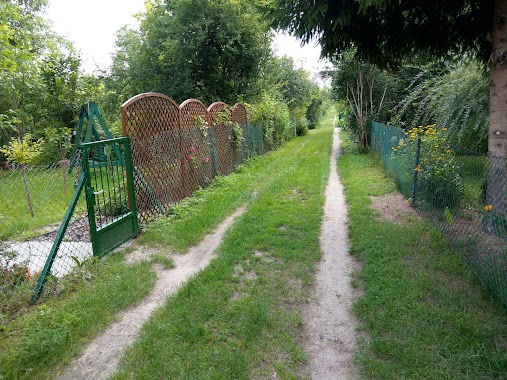
Park nearby Park Olszyna
Poland
Park nearby Park Olszyna
Park Olszyna
Słodowiec, Warszawa Polen
contacts phone
:
+48
Latitude:
52.27082
, Longitude:
20.9580694
read more
nearest Park
143 m
Park Olszyna
Gąbińska, Warszawa
Park
read more
360 m
Park. Zbigniew Herbert
Zbigniewa Romaszewskiego, Warszawa
Park
read more
360 m
Park im. Zbigniewa Herberta
Zbigniewa Romaszewskiego, Warszawa
Park
read more
455 m
Park M. Pruchnickiego
Bielany
Park
read more
642 m
Skwer Jarnuszkiewicza
Staffa 36, Warszawa
Park
read more
781 m
Comfort Garden
Literacka 19, Warszawa
Park
read more
827 m
Dolinka Opatowska
Marymont-Kaskada, Warszawa
Park
read more
860 m
park Kaskada
Kolektorska, Warszawa
Park
read more
1.047 km
Park Sady Żoliborskie
Warszawa
Park
read more
1.047 km
Park Sady Żoliborskie
Warsaw
Park
read more
1.084 km
Rodzinne Ogrody Działkowe - LOTNIK
Powązkowska 95, Warszawa
Park
read more
1.184 km
Park Żołn. Żywiciela
Warszawa
Park
read more
1.264 km
Plac Konfederacji
plac Konfederacji, Warszawa
Park
read more
1.56 km
Skwer Igora Newerlego
Żoliborz
Park
read more
1.572 km
ROD Piaski
Powązkowska 97, Warszawa
Park
read more
1.707 km
Invest in Green
Krasińskiego 16, Warszawa
Park
read more
1.989 km
Skwer Kompanii AK "Żniwiarz"
Żoliborz
Park
read more
2.073 km
Miejsce mocy
Warsaw
Park
read more
2.073 km
Miejsce mocy
Varsovia
Park
read more
2.073 km
Miejsce mocy
Warszawa
Park
read more
2.073 km
Miejsce mocy
Warschau
Park
read more
2.075 km
Fort Bema
Fort Bema, Warszawa
Park
read more
2.089 km
ROD Lotnisko
Piastów Śląskich, Warszawa
Park
read more
2.128 km
Rezerwat Przyrody Las Bielanski
Warszawa
Park
read more
2.143 km
Stawy Brustmana
Szekspira 2, Warszawa
Park
read more
📑
all categories
Accounting
Administrative area level 1
Administrative area level 2
Airport
Amusement park
Aquarium
Art gallery
Atm
Bakery
Bank
Bar
Beauty salon
Bicycle store
Book store
Bowling alley
Bus station
Cafe
Campground
Car dealer
Car rental
Car repair
Car wash
Casino
Cemetery
Church
City hall
Clothing store
Colloquial area
Convenience store
Courthouse
Dentist
Department store
Doctor
Electrician
Electronics store
Embassy
Finance
Fire station
Florist
Food
Funeral home
Furniture store
Gas station
General contractor
Grocery or supermarket
Gym
Hair care
Hardware store
Health
Hindu Temple
Home goods store
Hospital
Insurance agency
Intersection
Jewelry store
Laundry
Lawyer
Library
Light rail station
Liquor store
Local government office
Locality
Locksmith
Lodging
Meal delivery
Meal takeaway
Mosque
Movie rental
Movie theater
Moving company
Museum
Natural feature
Neighborhood
Night club
Painter
Park
Parking
Pet store
Pharmacy
Physiotherapist
Place of worship
Plumber
Point of interest
Police
Political
Post office
Premise
Real estate agency
Restaurant
Roofing contractor
Route
Rv park, camping
School
Shoe store
Shopping mall
Spa
Stadium
Storage
Store
Subpremise
Subway station
Supermarket
Synagogue
Taxi stand
Train station
Transit station
Travel agency
University
Veterinary care
Zoo
administrative area level 3
sublocality level 1
↑