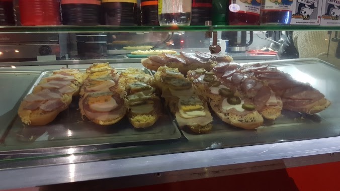
Night club nearby Smurf village
Poland
Night club nearby Smurf village
Smurf village
133, Wólczyńska, 00-001, Warszawa, Warszawa, PL Poland
contacts phone
:
+48
Latitude:
52.2827001
, Longitude:
20.9168564
larger map & directions
read more
nearest Night club
1.1 km
Pool Billard Academy SPB
Kaliszówka 17B, Warszawa
Night club
read more
1.195 km
Kebab Antalya
Szekspira 1, Warszawa
Night club
read more
1.215 km
Zapiekanki U Pandy
Wólczyńska, Warszawa
Night club
read more
1.5 km
Dom Bułkasza
Dąbrowskiej 8, Warszawa
Night club
read more
1.731 km
Szegerege
Efraima Schroegera 91, Warszawa
Night club
read more
2.135 km
Pan Sucharek baza
Broniewskiego 91, Warszawa
Night club
read more
2.312 km
Wylęgarnia
Broniewskiego 87, Warszawa
Night club
read more
2.323 km
Old Bielans Club
Lisowska 29, Warszawa
Night club
read more
2.376 km
Szczurnia
Broniewskiego 83, Warszawa
Night club
read more
2.615 km
Studio Bemowo
Gustawa Morcinka 32, Warszawa
Night club
read more
2.638 km
Polanka Wlodiego
Lotnisko, Warszawa
Night club
read more
2.813 km
Pauza
Marymoncka 34F, Warszawa
Night club
read more
2.962 km
Sauna Marszałka
Warszawa
Night club
read more
2.962 km
Sauna Marszałka
Warsaw
Night club
read more
3.632 km
Cafe RAMA Bar
Radiowa 18/lok. 1B, Warszawa
Night club
read more
4.139 km
Ranczo u Majkela
Marynin, Warszawa
Night club
read more
4.333 km
AS
Siodlarska 12, Warszawa
Night club
read more
4.397 km
WarsawNightRacing
Koło, 00-001
Night club
read more
4.864 km
Poldek Warszawa Myśliborska
Myśliborska 85, Warszawa
Night club
read more
5.082 km
Bufet ULIJANKA Obiady Domowe
Obozowa 43, Warszawa
Night club
read more
5.082 km
ULIJANKA
Obozowa 43, Warszawa
Night club
read more
5.23 km
Klub PICTURES
Obrazkowa 26, Warszawa
Night club
read more
5.231 km
KADOTO Sushi
Banderii 4 lok.U 7, Warszawa
Night club
read more
5.335 km
Freedom
Młocińska 11, Warszawa
Night club
read more
6.224 km
Riva Cafe Bar Restaurant
aleja Jana Pawła II 61C/lok. 204, Warszawa
Night club
read more
📑
all categories
Accounting
Administrative area level 1
Administrative area level 2
Airport
Amusement park
Aquarium
Art gallery
Atm
Bakery
Bank
Bar
Beauty salon
Bicycle store
Book store
Bowling alley
Bus station
Cafe
Campground
Car dealer
Car rental
Car repair
Car wash
Casino
Cemetery
Church
City hall
Clothing store
Colloquial area
Convenience store
Courthouse
Dentist
Department store
Doctor
Electrician
Electronics store
Embassy
Finance
Fire station
Florist
Food
Funeral home
Furniture store
Gas station
General contractor
Grocery or supermarket
Gym
Hair care
Hardware store
Health
Hindu Temple
Home goods store
Hospital
Insurance agency
Intersection
Jewelry store
Laundry
Lawyer
Library
Light rail station
Liquor store
Local government office
Locality
Locksmith
Lodging
Meal delivery
Meal takeaway
Mosque
Movie rental
Movie theater
Moving company
Museum
Natural feature
Neighborhood
Night club
Painter
Park
Parking
Pet store
Pharmacy
Physiotherapist
Place of worship
Plumber
Point of interest
Police
Political
Post office
Premise
Real estate agency
Restaurant
Roofing contractor
Route
Rv park, camping
School
Shoe store
Shopping mall
Spa
Stadium
Storage
Store
Subpremise
Subway station
Supermarket
Synagogue
Taxi stand
Train station
Transit station
Travel agency
University
Veterinary care
Zoo
administrative area level 3
sublocality level 1
↑