Night club nearby Reset Pub
Poland
Night club nearby Reset Pub
Reset Pub
Orkana 31A, Chrzanów Poland
contacts phone
:
+48
Latitude:
50.1287295
, Longitude:
19.4028087
read more
nearest Night club
1.926 km
Pod Jesionem
Henryka Sienkiewicza 21, Chrzanów
Night club
read more
10.594 km
Bar u Tadka
Ciężkowicka 66b, Jaworzno
Night club
read more
12.072 km
Klub Muzyczny OPERA
Pocztowa 13, Jaworzno
Night club
read more
13.203 km
Pub Drewniok
Wandy 56, Imielin
Night club
read more
15.241 km
EC Jaworzno
Unnamed Road
Night club
read more
18.329 km
Wiewióra
Jaworzno
Night club
read more
20.154 km
Bar Pergola
Stadionowa 2, Lędziny
Night club
read more
20.325 km
Emer Bar
Ignacego Jana Paderewskiego 36d, Lędziny
Night club
read more
21.108 km
Bar Anita
Lędzińska 179, Lędziny
Night club
read more
21.373 km
U Domżoła
Jana III Sobieskiego, Lędziny
Night club
read more
21.803 km
Krysia Syłkin
Zagłębiowska 19, Sosnowiec
Night club
read more
22.121 km
Traper. Cafe-bar
Robotnicza 2, Mysłowice
Night club
read more
24.341 km
Fundacja Młodzież Kropka PL
Ostrogórska 29, Sosnowiec
Night club
read more
24.952 km
Borki
Stawiska 1A, Katowice
Night club
read more
25.204 km
Bar Lala Mido
Stanisława Małachowskiego 40, Sosnowiec
Night club
read more
25.256 km
Bistro na Wspólnej - Pierogarnia
Wspólna 26, Sosnowiec
Night club
read more
25.32 km
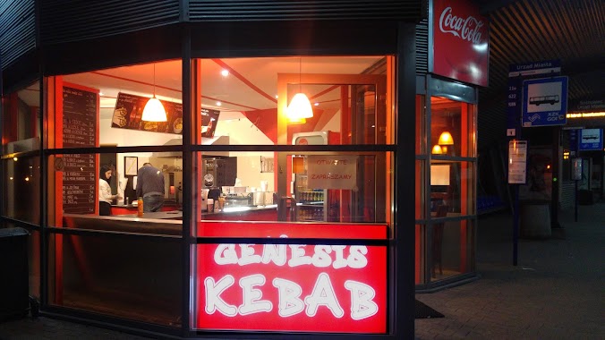
Genesis Kebab
Ignacego Mościckiego, Sosnowiec
Night club
read more
25.36 km
VHS
Stanisława Małachowskiego 24, Sosnowiec
Night club
read more
25.634 km
Manufaktura Klub
Warszawska 12, Sosnowiec
Night club
read more
25.838 km
Junior English Club
378, Aleja Piłsudskiego 32, Dąbrowa Górnicza
Night club
read more
26.027 km
Bar Piwny BINGO
Dabrowa Gornicza
Night club
read more
28.034 km
P23
Porcelanowa 23, Katowice
Night club
read more
28.347 km
Widok Będzin , Os.Górki Małobądzkie
Będzin
Night club
read more
30.391 km
Night Club Play+
Będzińska 72, Czeladź
Night club
read more
31.629 km
Red Fox
Bytomska 14, Czeladź
Night club
read more
📑
all categories
Accounting
Administrative area level 1
Administrative area level 2
Airport
Amusement park
Aquarium
Art gallery
Atm
Bakery
Bank
Bar
Beauty salon
Bicycle store
Book store
Bowling alley
Bus station
Cafe
Campground
Car dealer
Car rental
Car repair
Car wash
Casino
Cemetery
Church
City hall
Clothing store
Colloquial area
Convenience store
Courthouse
Dentist
Department store
Doctor
Electrician
Electronics store
Embassy
Finance
Fire station
Florist
Food
Funeral home
Furniture store
Gas station
General contractor
Grocery or supermarket
Gym
Hair care
Hardware store
Health
Hindu Temple
Home goods store
Hospital
Insurance agency
Intersection
Jewelry store
Laundry
Lawyer
Library
Light rail station
Liquor store
Local government office
Locality
Locksmith
Lodging
Meal delivery
Meal takeaway
Mosque
Movie rental
Movie theater
Moving company
Museum
Natural feature
Neighborhood
Night club
Painter
Park
Parking
Pet store
Pharmacy
Physiotherapist
Place of worship
Plumber
Point of interest
Police
Political
Post office
Premise
Real estate agency
Restaurant
Roofing contractor
Route
Rv park, camping
School
Shoe store
Shopping mall
Spa
Stadium
Storage
Store
Subpremise
Subway station
Supermarket
Synagogue
Taxi stand
Train station
Transit station
Travel agency
University
Veterinary care
Zoo
administrative area level 3
sublocality level 1
↑