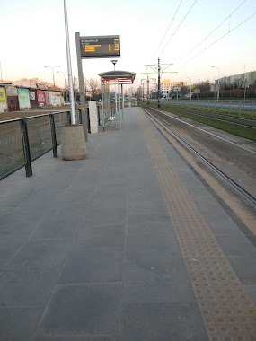
Light rail station nearby Stefanika 06
Poland
Light rail station nearby Stefanika 06
Stefanika 06
00-001 Warszawa, Polska
contacts phone
:
+48
Latitude:
52.327139
, Longitude:
20.941083
larger map & directions
read more
nearest Light rail station
74 m
Stefanika 05
Poland
Light rail station
read more
388 m
Tarchomin Kościelny 02
Poland
Light rail station
read more
519 m
Mehoffera 05
Poland
Light rail station
read more
558 m
Nowodwory 06
Poland
Light rail station
read more
576 m
Mehoffera 06
Poland
Light rail station
read more
1.183 km
Tarchomin 05
Poland
Light rail station
read more
1.247 km
Tarchomin 06
Poland
Light rail station
read more
1.742 km
Myśliborska 05
Poland
Light rail station
read more
1.764 km
Myśliborska 06
Poland
Light rail station
read more
2.093 km
Śreniawitów 01
Poland
Light rail station
read more
2.094 km
Śreniawitów 02
Poland
Light rail station
read more
2.195 km
Świderska
most Marii Skłodowskiej-Curie, Warszawa
Light rail station
read more
2.207 km
Świderska 03
Poland
Light rail station
read more
2.212 km
Świderska 04
Poland
Light rail station
read more
2.281 km
Stare Świdry
Marii Skłodowskiej-Curie, Warszawa
Light rail station
read more
2.284 km
Stare Świdry 03
Poland
Light rail station
read more
2.291 km
Stare Świdry 04
Poland
Light rail station
read more
3.104 km
Zajezdnia Żoliborz 05
Poland
Light rail station
read more
3.243 km
Cm.Włoski 03
Poland
Light rail station
read more
3.971 km
Metro Młociny 11
Poland
Light rail station
read more
4.858 km
Nocznickiego 01
Poland
Light rail station
read more
4.874 km
Nocznickiego 02
Poland
Light rail station
read more
4.954 km
AWF 04
Poland
Light rail station
read more
5.82 km
Żerań FSO 06
Poland
Light rail station
read more
6.299 km
Dyrekcja FSO 04
Poland
Light rail station
read more
📑
all categories
Accounting
Administrative area level 1
Administrative area level 2
Airport
Amusement park
Aquarium
Art gallery
Atm
Bakery
Bank
Bar
Beauty salon
Bicycle store
Book store
Bowling alley
Bus station
Cafe
Campground
Car dealer
Car rental
Car repair
Car wash
Casino
Cemetery
Church
City hall
Clothing store
Colloquial area
Convenience store
Courthouse
Dentist
Department store
Doctor
Electrician
Electronics store
Embassy
Finance
Fire station
Florist
Food
Funeral home
Furniture store
Gas station
General contractor
Grocery or supermarket
Gym
Hair care
Hardware store
Health
Hindu Temple
Home goods store
Hospital
Insurance agency
Intersection
Jewelry store
Laundry
Lawyer
Library
Light rail station
Liquor store
Local government office
Locality
Locksmith
Lodging
Meal delivery
Meal takeaway
Mosque
Movie rental
Movie theater
Moving company
Museum
Natural feature
Neighborhood
Night club
Painter
Park
Parking
Pet store
Pharmacy
Physiotherapist
Place of worship
Plumber
Point of interest
Police
Political
Post office
Premise
Real estate agency
Restaurant
Roofing contractor
Route
Rv park, camping
School
Shoe store
Shopping mall
Spa
Stadium
Storage
Store
Subpremise
Subway station
Supermarket
Synagogue
Taxi stand
Train station
Transit station
Travel agency
University
Veterinary care
Zoo
administrative area level 3
sublocality level 1
↑