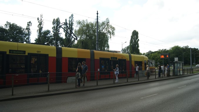
Light rail station nearby Limanowskiego - Bałucki Rynek (1792)
Coronavirus disease (COVID-19) Situation
confirmed cases
6661991
deaths
120598
Poland
Light rail station nearby Limanowskiego - Bałucki Rynek (1792)
Limanowskiego - Bałucki Rynek (1792)
90-001 Łódź, Polska
contacts phone
:
+48
Latitude:
51.786667
, Longitude:
19.451389
larger map & directions
read more
nearest Light rail station
111 m
Limanowskiego - Zachodnia (1787)
Poland
Light rail station
read more
111 m
Zgierska - Bałucki Rynek (1466)
Poland
Light rail station
read more
122 m
Zgierska - Bałucki Rynek (1429)
Poland
Light rail station
read more
188 m
Limanowskiego - Zachodnia (0443)
Poland
Light rail station
read more
188 m
Zachodnia - Limanowskiego (1396)
Poland
Light rail station
read more
334 m
Zgierska - pl. Kościelny (1467)
Poland
Light rail station
read more
379 m
Zachodnia - Lutomierska (1398)
Poland
Light rail station
read more
381 m
pl. Kościelny (0792)
Poland
Light rail station
read more
527 m
Dolna - Łagiewnicka (0136)
Poland
Light rail station
read more
534 m
Dolna - Łagiewnicka (0137)
Poland
Light rail station
read more
550 m
Limanowskiego - Piwna (0445)
Poland
Light rail station
read more
619 m
Wojska Polskiego - Franciszkańska (1329)
Poland
Light rail station
read more
670 m
Franciszkańska - Wojska Polskiego (0183)
Poland
Light rail station
read more
682 m
Wojska Polskiego - Franciszkańska (1347)
Poland
Light rail station
read more
704 m
Zachodnia - Manufaktura (1998)
Poland
Light rail station
read more
706 m
Zachodnia - Manufaktura (1997)
Poland
Light rail station
read more
742 m
Zgierska - Adwokacka (1433)
Poland
Light rail station
read more
787 m
Zgierska - Adwokacka (1464)
Poland
Light rail station
read more
847 m
Nowomiejska - Północna (0629)
Poland
Light rail station
read more
882 m
Ogrodowa - Nowomiejska (0656)
Poland
Light rail station
read more
923 m
Wojska Polskiego - Marynarska (1330)
Poland
Light rail station
read more
971 m
Wojska Polskiego - Marynarska (1345)
Poland
Light rail station
read more
1.001 km
Łagiewnicka - Kowalska (0489)
Poland
Light rail station
read more
1.005 km
Franciszkańska - Północna (0189)
Poland
Light rail station
read more
1.02 km
Północna - Kilińskiego (0858)
Poland
Light rail station
read more
📑
all categories
Accounting
Administrative area level 1
Administrative area level 2
Airport
Amusement park
Aquarium
Art gallery
Atm
Bakery
Bank
Bar
Beauty salon
Bicycle store
Book store
Bowling alley
Bus station
Cafe
Campground
Car dealer
Car rental
Car repair
Car wash
Casino
Cemetery
Church
City hall
Clothing store
Colloquial area
Convenience store
Courthouse
Dentist
Department store
Doctor
Electrician
Electronics store
Embassy
Finance
Fire station
Florist
Food
Funeral home
Furniture store
Gas station
General contractor
Grocery or supermarket
Gym
Hair care
Hardware store
Health
Hindu Temple
Home goods store
Hospital
Insurance agency
Intersection
Jewelry store
Laundry
Lawyer
Library
Light rail station
Liquor store
Local government office
Locality
Locksmith
Lodging
Meal delivery
Meal takeaway
Mosque
Movie rental
Movie theater
Moving company
Museum
Natural feature
Neighborhood
Night club
Painter
Park
Parking
Pet store
Pharmacy
Physiotherapist
Place of worship
Plumber
Point of interest
Police
Political
Post office
Premise
Real estate agency
Restaurant
Roofing contractor
Route
Rv park, camping
School
Shoe store
Shopping mall
Spa
Stadium
Storage
Store
Subpremise
Subway station
Supermarket
Synagogue
Taxi stand
Train station
Transit station
Travel agency
University
Veterinary care
Zoo
administrative area level 3
sublocality level 1
↑