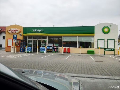
Gas station nearby Stacja Patronacka CHLEWICKI Łódź
Poland
Gas station nearby Stacja Patronacka CHLEWICKI Łódź
Stacja Patronacka CHLEWICKI Łódź
4, Ferdynanda Ossendowskiego, 90-001, Łódź, Łódź, PL Polska
contacts phone
:
+48
Latitude:
51.7344516
, Longitude:
19.5154998
larger map & directions
read more
nearest Gas station
77 m
Stacja Paliw
Ferdynanda Ossendowskiego 4, Łódź
Gas station
read more
667 m
Shell
Gojawiczyńskiej 58, Łódź
Gas station
read more
668 m
Stacja benzynowa
Gojawiczyńskiej 19, Łódź
Gas station
read more
1.782 km
Circle K
Przybyszewskiego 199-205, Łódź
Gas station
read more
1.848 km
Lotos
Przybyszewskiego 176/178, Łódź
Gas station
read more
1.848 km
LOTOS. Stacja paliw.
Przybyszewskiego 176/178, Łódź
Gas station
read more
1.932 km
Carrefour petrol station
Przybyszewskiego 176/178, Łódź
Gas station
read more
1.932 km
Stacja paliw Carrefour
Przybyszewskiego 176/178, Łódź
Gas station
read more
1.936 km
Orlen
Śmigłego-Rydza 43, Łódź
Gas station
read more
1.936 km
Stacja Paliw ORLEN
Śmigłego-Rydza 43, Łódź
Gas station
read more
2.059 km
Independent
Tomaszowska 77, Łódź
Gas station
read more
2.068 km
Auto Gas Station
Tomaszowska 77, Łódź
Gas station
read more
2.35 km
Orlen
Przybyszewskiego 327, Łódź
Gas station
read more
2.35 km
Stacja Paliw ORLEN
Przybyszewskiego 327, Łódź
Gas station
read more
2.383 km
Shell
Marszałka Edwarda, Śmigłego-Rydza 23, Łódź
Gas station
read more
2.392 km
Shell
Śmigłego-Rydza, 23, Marszałka Edwarda, Łódź
Gas station
read more
2.392 km
Shell
Śmigłego-Rydza 23, Łódź
Gas station
read more
2.507 km
BP
Śmigłego-Rydza 19, Łódź
Gas station
read more
2.543 km
LPG
Rzgowska 93, Łódź
Gas station
read more
2.64 km
BP
Rzgowska 169-171, Łódź
Gas station
read more
2.74 km
Interoil
Łęczycka 11/13, Łódź
Gas station
read more
2.793 km
Circle K
Rzgowska 211, Łódź
Gas station
read more
2.9 km
Orlen
Rzgowska 66A, Łódź
Gas station
read more
3.266 km
AUTO GAZ
Kolumny 25, Łódź
Gas station
read more
3.285 km
BP
Rzgowska 252, Łódź
Gas station
read more
📑
all categories
Accounting
Administrative area level 1
Administrative area level 2
Airport
Amusement park
Aquarium
Art gallery
Atm
Bakery
Bank
Bar
Beauty salon
Bicycle store
Book store
Bowling alley
Bus station
Cafe
Campground
Car dealer
Car rental
Car repair
Car wash
Casino
Cemetery
Church
City hall
Clothing store
Colloquial area
Convenience store
Courthouse
Dentist
Department store
Doctor
Electrician
Electronics store
Embassy
Finance
Fire station
Florist
Food
Funeral home
Furniture store
Gas station
General contractor
Grocery or supermarket
Gym
Hair care
Hardware store
Health
Hindu Temple
Home goods store
Hospital
Insurance agency
Intersection
Jewelry store
Laundry
Lawyer
Library
Light rail station
Liquor store
Local government office
Locality
Locksmith
Lodging
Meal delivery
Meal takeaway
Mosque
Movie rental
Movie theater
Moving company
Museum
Natural feature
Neighborhood
Night club
Painter
Park
Parking
Pet store
Pharmacy
Physiotherapist
Place of worship
Plumber
Point of interest
Police
Political
Post office
Premise
Real estate agency
Restaurant
Roofing contractor
Route
Rv park, camping
School
Shoe store
Shopping mall
Spa
Stadium
Storage
Store
Subpremise
Subway station
Supermarket
Synagogue
Taxi stand
Train station
Transit station
Travel agency
University
Veterinary care
Zoo
administrative area level 3
sublocality level 1
↑