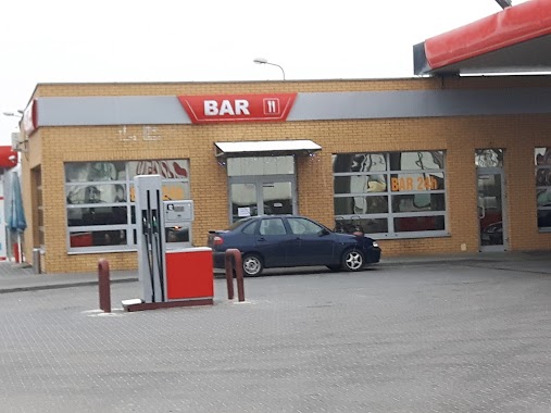
Gas station nearby Petrochemia Płock
Poland
Gas station nearby Petrochemia Płock
Petrochemia Płock
Główna 2a, Domaniewice Polen
contacts phone
:
+48
Latitude:
52.0024304
, Longitude:
19.7953581
read more
nearest Gas station
1.411 km
TRAMEX STACJA PALIW TRANSPORT
Stroniewice 9a
Gas station
read more
2.458 km
Fema. Stacja paliw
Domaniewice
Gas station
read more
3.239 km
MaR-TRANS Krzysztof Wojda
Skaratki pod Rogóźno 21, Domaniewice
Gas station
read more
6.138 km
NIEZRZESZONA - Głowno
Targowa 10, Głowno
Gas station
read more
6.143 km
Stacja Paliw Pegas Grupa
Targowa 10/12, Głowno
Gas station
read more
7.87 km
Solan Sp.zoo. Głowno
Łódzka 2, Głowno
Gas station
read more
9.749 km
Bliska Wyskoki
Wyskoki, 66, Wyskoki
Gas station
read more
9.76 km
Stacja Paliw ORLEN
Wyskoki 66, Wyskoki
Gas station
read more
11.074 km
Petrol Station Koper Sp. J.
Lowicz
Gas station
read more
12.849 km
Shell
A2, Stryków
Gas station
read more
13.007 km
Orlen
Prymasowska 12/18, Łowicz
Gas station
read more
13.753 km
Myjnia Samochodowa
Tuszewska 41, Łowicz
Gas station
read more
14.492 km
BP
Polesie 129, Bełchów
Gas station
read more
14.617 km
MOP Polesie
Unnamed Road 99-311
Gas station
read more
15.623 km
Huzar
Napoleońska 99, Łowicz
Gas station
read more
16.064 km
Independent
Płocka 99, Łowicz
Gas station
read more
16.21 km
Stacja Paliw BLISKA
Poznańska 112, Łowicz
Gas station
read more
16.494 km
Stacja Paliw ORLEN
Bolimowska 75, Łowicz
Gas station
read more
16.507 km
MGT sp.j. Tataj M., Dymek A.
Bolimowska 75, Łowicz
Gas station
read more
16.782 km
Independent
Warszawska 36, Łowicz
Gas station
read more
17.274 km
Petrol Station ORLEN
Poznańska 51, Łowicz
Gas station
read more
19.755 km
Artus
Sosnowiec
Gas station
read more
19.799 km
Stacja paliw - Sosnowiec
Przy drodze nr 14, Sosnowiec
Gas station
read more
20.319 km
Stacja Paliw BP
Stryków, Sosnowiec-Pieńki 18A
Gas station
read more
20.331 km
Stacja Paliw BP
Sosnowiec-Pieńki 18A, Stryków
Gas station
read more
📑
all categories
Accounting
Administrative area level 1
Administrative area level 2
Airport
Amusement park
Aquarium
Art gallery
Atm
Bakery
Bank
Bar
Beauty salon
Bicycle store
Book store
Bowling alley
Bus station
Cafe
Campground
Car dealer
Car rental
Car repair
Car wash
Casino
Cemetery
Church
City hall
Clothing store
Colloquial area
Convenience store
Courthouse
Dentist
Department store
Doctor
Electrician
Electronics store
Embassy
Finance
Fire station
Florist
Food
Funeral home
Furniture store
Gas station
General contractor
Grocery or supermarket
Gym
Hair care
Hardware store
Health
Hindu Temple
Home goods store
Hospital
Insurance agency
Intersection
Jewelry store
Laundry
Lawyer
Library
Light rail station
Liquor store
Local government office
Locality
Locksmith
Lodging
Meal delivery
Meal takeaway
Mosque
Movie rental
Movie theater
Moving company
Museum
Natural feature
Neighborhood
Night club
Painter
Park
Parking
Pet store
Pharmacy
Physiotherapist
Place of worship
Plumber
Point of interest
Police
Political
Post office
Premise
Real estate agency
Restaurant
Roofing contractor
Route
Rv park, camping
School
Shoe store
Shopping mall
Spa
Stadium
Storage
Store
Subpremise
Subway station
Supermarket
Synagogue
Taxi stand
Train station
Transit station
Travel agency
University
Veterinary care
Zoo
administrative area level 3
sublocality level 1
↑