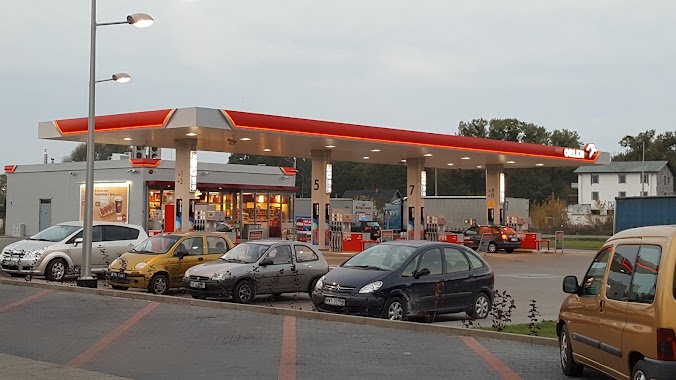
Gas station nearby Auto-Gaz Radom
Poland
Gas station nearby Auto-Gaz Radom
Auto-Gaz Radom
212, Warszawska, 26-600, Radom, Radom, PL Polska
contacts phone
:
+48
Latitude:
51.4468295
, Longitude:
21.1446549
larger map & directions
read more
nearest Gas station
1.44 km
MOYA
Warszawska 1A, Wielogóra
Gas station
read more
1.832 km
LOTOS. Stacja paliw.
Warszawska 98, Radom
Gas station
read more
1.832 km
Lotos
Warszawska 98, Radom
Gas station
read more
1.843 km
Stacja LPG - Radom
Mieszka I 18, Radom
Gas station
read more
2.623 km
Statoil Radom
Stanisława Żółkiewskiego 10, Radom
Gas station
read more
2.63 km
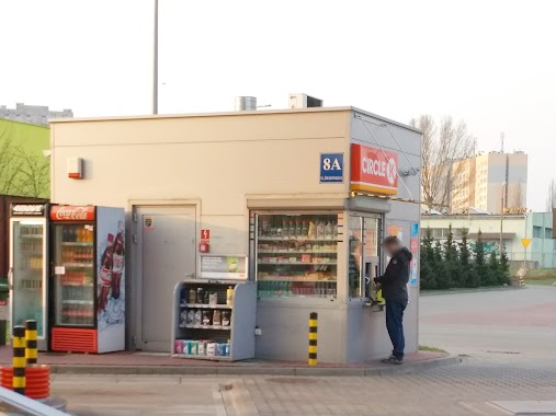
Circle K
Stanisława Żółkiewskiego 8A, Radom
Gas station
read more
2.63 km
Circle K Express
Stanisława Żółkiewskiego 8A, Radom
Gas station
read more
2.718 km
Orlen
Stanisława Żółkiewskiego 12, Radom
Gas station
read more
2.718 km
Stacja Paliw ORLEN
Stanisława Żółkiewskiego 12, Radom
Gas station
read more
3.307 km
Circle K
Stefana Czarnieckiego 73, Radom
Gas station
read more
3.342 km
Lotos
Warszawska 81, Wielogóra
Gas station
read more
3.345 km
Petrol Station ORLEN
Warszawska 17A, Radom
Gas station
read more
3.574 km
Petrolis Sp. z o.o.
Warszawska 14, Radom
Gas station
read more
3.773 km
Circle K Radom
Stefana Czarnieckiego 45, Radom
Gas station
read more
3.807 km
Circle K Express
Stefana Czarnieckiego 45, Radom
Gas station
read more
4.147 km
BP
Warszawska 41, Jedlińsk
Gas station
read more
4.297 km
eMILA
ul. Wernera Stanisława, Radom
Gas station
read more
4.388 km
Lotos
11 Listopada 87, Radom
Gas station
read more
4.64 km
BP
Kazimierza Kelles-Krauza 1B, Radom
Gas station
read more
4.746 km
BP
Kielecka 5, Radom
Gas station
read more
4.856 km
Stacja Paliw ORLEN
Andrzeja Struga 102, Radom
Gas station
read more
5.018 km
Stacja Paliw ORLEN
Kielecka 22/24, Radom
Gas station
read more
5.313 km
Mar-Rom. sp.j. Stacja paliw
Kozienicka 97, Radom
Gas station
read more
5.579 km
Stacja Paliw ORLEN
Rondo ks. Jerzego Popiełuszki, Radom
Gas station
read more
5.579 km
Petrol Station ORLEN
Rondo ks. Jerzego Popiełuszki, Radom
Gas station
read more
📑
all categories
Accounting
Administrative area level 1
Administrative area level 2
Airport
Amusement park
Aquarium
Art gallery
Atm
Bakery
Bank
Bar
Beauty salon
Bicycle store
Book store
Bowling alley
Bus station
Cafe
Campground
Car dealer
Car rental
Car repair
Car wash
Casino
Cemetery
Church
City hall
Clothing store
Colloquial area
Convenience store
Courthouse
Dentist
Department store
Doctor
Electrician
Electronics store
Embassy
Finance
Fire station
Florist
Food
Funeral home
Furniture store
Gas station
General contractor
Grocery or supermarket
Gym
Hair care
Hardware store
Health
Hindu Temple
Home goods store
Hospital
Insurance agency
Intersection
Jewelry store
Laundry
Lawyer
Library
Light rail station
Liquor store
Local government office
Locality
Locksmith
Lodging
Meal delivery
Meal takeaway
Mosque
Movie rental
Movie theater
Moving company
Museum
Natural feature
Neighborhood
Night club
Painter
Park
Parking
Pet store
Pharmacy
Physiotherapist
Place of worship
Plumber
Point of interest
Police
Political
Post office
Premise
Real estate agency
Restaurant
Roofing contractor
Route
Rv park, camping
School
Shoe store
Shopping mall
Spa
Stadium
Storage
Store
Subpremise
Subway station
Supermarket
Synagogue
Taxi stand
Train station
Transit station
Travel agency
University
Veterinary care
Zoo
administrative area level 3
sublocality level 1
↑