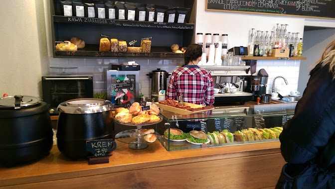
Cafe nearby Drukarnia
Coronavirus disease (COVID-19) Situation
confirmed cases
6661991
deaths
120598
Poland
Cafe nearby Drukarnia
Drukarnia
Mariacka 36, Gdańsk Polska
contacts phone
:
+48
Latitude:
54.3496369
, Longitude:
18.6559305
read more
nearest Cafe
15 m
Cafe Kamienica
Mariacka 37, Gdańsk
Cafe
read more
89 m
Kawiarnia Oficyna Gdańska
Chlebnicka 24/25, Gdańsk
Cafe
read more
120 m
Centrum fitoterapii Labofarm
Długie Pobrzeże 28, Gdańsk
Cafe
read more
165 m
Wapiarnia Gdańsk
Tandeta 1/82, Gdańsk
Cafe
read more
211 m
Гданьск
Długi Targ 43/44, Gdańsk
Cafe
read more
213 m
Lody Tradycyjne Kwaśniak 1954
Powroźnicza 23/24, Gdańsk
Cafe
read more
229 m
czerwona sukienka
Gdańsk
Cafe
read more
329 m
Pikawa Kawiarnia
Piwna 14/15, Gdańsk
Cafe
read more
370 m
Um Am Patisserie
Szafarnia 4-10, Gdańsk
Cafe
read more
376 m
Pułapka
Straganiarska 2, Gdańsk
Cafe
read more
379 m
Segafredo
Targ Rybny 11, Gdańsk
Cafe
read more
397 m
Cafe Factotum
Świętego Ducha 8/10, Gdańsk
Cafe
read more
413 m
Z INNEJ PARAFII
Targ Rybny 6a, Gdańsk
Cafe
read more
431 m
Tee Janowicz. Herbata i dekoracje
Pańska 5, Gdańsk
Cafe
read more
447 m
NAGU
Pańska 1/2, Gdańsk
Cafe
read more
471 m
Costa Coffee
Długa 5, Gdańsk
Cafe
read more
507 m
Paulo Gelateria - lodziarnia mistrza Polski
Podwale Staromiejskie 96/97, Gdańsk
Cafe
read more
685 m
Cremo
72, Chmielna, Gdańsk
Cafe
read more
714 m
Cremo Patisseria & Gelato
Chmielna 72/2, Gdańsk
Cafe
read more
741 m
GUGAsweet
Stara Stocznia 2/9, Gdańsk
Cafe
read more
752 m
Starbucks Forum
CH Forum, Targ Sienny 7, Gdańsk
Cafe
read more
757 m
Columbus Coffee
CH Forum, Targ Sienny 7, Gdańsk
Cafe
read more
791 m
Etno Cafe
CH Forum, Targ Sienny 7, Gdańsk
Cafe
read more
957 m
Mitte - bread and coffee
Rzeźnicka 47b, Gdańsk
Cafe
read more
969 m
Red Spot Cafe
Podwale Grodzkie 2, Gdańsk
Cafe
read more
📑
all categories
Accounting
Administrative area level 1
Administrative area level 2
Airport
Amusement park
Aquarium
Art gallery
Atm
Bakery
Bank
Bar
Beauty salon
Bicycle store
Book store
Bowling alley
Bus station
Cafe
Campground
Car dealer
Car rental
Car repair
Car wash
Casino
Cemetery
Church
City hall
Clothing store
Colloquial area
Convenience store
Courthouse
Dentist
Department store
Doctor
Electrician
Electronics store
Embassy
Finance
Fire station
Florist
Food
Funeral home
Furniture store
Gas station
General contractor
Grocery or supermarket
Gym
Hair care
Hardware store
Health
Hindu Temple
Home goods store
Hospital
Insurance agency
Intersection
Jewelry store
Laundry
Lawyer
Library
Light rail station
Liquor store
Local government office
Locality
Locksmith
Lodging
Meal delivery
Meal takeaway
Mosque
Movie rental
Movie theater
Moving company
Museum
Natural feature
Neighborhood
Night club
Painter
Park
Parking
Pet store
Pharmacy
Physiotherapist
Place of worship
Plumber
Point of interest
Police
Political
Post office
Premise
Real estate agency
Restaurant
Roofing contractor
Route
Rv park, camping
School
Shoe store
Shopping mall
Spa
Stadium
Storage
Store
Subpremise
Subway station
Supermarket
Synagogue
Taxi stand
Train station
Transit station
Travel agency
University
Veterinary care
Zoo
administrative area level 3
sublocality level 1
↑