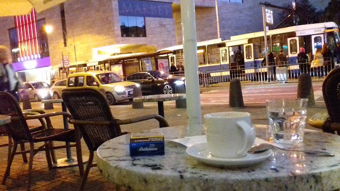
Cafe nearby Caffe Terria
Poland
Cafe nearby Caffe Terria
Caffe Terria
Świętego Antoniego 18, Wrocław Polska
contacts phone
:
+48
Latitude:
51.1094339
, Longitude:
17.0249013
read more
nearest Cafe
52 m
Kulka Lody Naturalne
50-001, Wrocław
Cafe
read more
140 m
Pasaż Pokoyhof
Świętego Antoniego 2/4, Wrocław
Cafe
read more
143 m
Ciż Cafe
9, Pawła Włodkowica, Wrocław
Cafe
read more
237 m
Vincent
Ruska 5, Wrocław
Cafe
read more
250 m
Bite a Donut
Świętego Mikołaja 43/1L, Wrocław
Cafe
read more
271 m
Herbaciarnia Czajownia
Białoskórnicza 7, Wrocław
Cafe
read more
319 m
Bema Cafe
Plac Solny 4, Wrocław
Cafe
read more
401 m
Cukiernia "MUFFINKA"
Księcia Józefa Poniatowskiego 21/1a, 50-326, Wrocław
Cafe
read more
419 m
Blikle
Rynek 2, Wrocław
Cafe
read more
479 m
Lot Kury - Cafe, Cocktailbar & More
Ofiar Oświęcimskich 17, Wrocław
Cafe
read more
487 m
Bat Lot Kury
Ofiar Oświęcimskich 17, Wrocław
Cafe
read more
540 m
Bola Dosse
Świdnicka 9, Wrocław
Cafe
read more
541 m
SO! COFFEE
Świdnicka 1, Wrocław
Cafe
read more
569 m
Czary w Gary
Tęczowa 7, Wrocław
Cafe
read more
573 m
FutureNet Cafe
Rynek 46/47, Wrocław
Cafe
read more
587 m
Barbara
Świdnicka 8B, Wrocław
Cafe
read more
596 m
Vinyl Cafe
Kotlarska 35-36, Wrocław
Cafe
read more
601 m
Lili Caffe Rynek
Rynek 36, Wrocław
Cafe
read more
621 m
Tralalala Cafe
Więzienna 21, Wrocław
Cafe
read more
632 m
KOTON coffee & cats, kocia kawiarnia
Igielna 19, Wrocław
Cafe
read more
789 m
Czas na Herbatę
Renoma, Świdnicka 40, Wrocław
Cafe
read more
944 m
Starbucks
Piłsudskiego 58/1B, Wrocław
Cafe
read more
956 m
Loveat
Piłsudskiego 62, Wrocław
Cafe
read more
1.042 km
Starbucks
Podwale 57, Wrocław
Cafe
read more
1.076 km
Macondo
Pomorska, 19, Wrocław
Cafe
read more
📑
all categories
Accounting
Administrative area level 1
Administrative area level 2
Airport
Amusement park
Aquarium
Art gallery
Atm
Bakery
Bank
Bar
Beauty salon
Bicycle store
Book store
Bowling alley
Bus station
Cafe
Campground
Car dealer
Car rental
Car repair
Car wash
Casino
Cemetery
Church
City hall
Clothing store
Colloquial area
Convenience store
Courthouse
Dentist
Department store
Doctor
Electrician
Electronics store
Embassy
Finance
Fire station
Florist
Food
Funeral home
Furniture store
Gas station
General contractor
Grocery or supermarket
Gym
Hair care
Hardware store
Health
Hindu Temple
Home goods store
Hospital
Insurance agency
Intersection
Jewelry store
Laundry
Lawyer
Library
Light rail station
Liquor store
Local government office
Locality
Locksmith
Lodging
Meal delivery
Meal takeaway
Mosque
Movie rental
Movie theater
Moving company
Museum
Natural feature
Neighborhood
Night club
Painter
Park
Parking
Pet store
Pharmacy
Physiotherapist
Place of worship
Plumber
Point of interest
Police
Political
Post office
Premise
Real estate agency
Restaurant
Roofing contractor
Route
Rv park, camping
School
Shoe store
Shopping mall
Spa
Stadium
Storage
Store
Subpremise
Subway station
Supermarket
Synagogue
Taxi stand
Train station
Transit station
Travel agency
University
Veterinary care
Zoo
administrative area level 3
sublocality level 1
↑