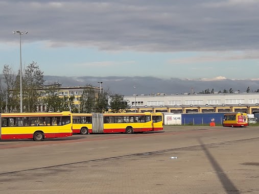
Bus station nearby Nowe Sady - Elektronowa (2326)
Poland
Bus station nearby Nowe Sady - Elektronowa (2326)
Nowe Sady - Elektronowa (2326)
Poland Polska
contacts phone
:
+48
Latitude:
51.741269
, Longitude:
19.4342179
read more
nearest Bus station
29 m
Nowe Sady - Elektronowa (0621)
Poland
Bus station
read more
88 m
Elektronowa - Nowe Sady (1875)
Poland
Bus station
read more
504 m
Obywatelska - Nowe Sady (0654)
Poland
Bus station
read more
520 m
Nowe Sady
Poland
Bus station
read more
522 m
Obywatelska - Obywatelska 106 (2122)
Poland
Bus station
read more
552 m
Obywatelska - Nowe Sady (0649)
Poland
Bus station
read more
555 m
Nowe Sady - ROD Olimpijka (0626)
Poland
Bus station
read more
567 m
Nowe Sady - zajezdnia NOWE SADY (9012)
Poland
Bus station
read more
577 m
Nowe Sady - ROD Olimpijka (0623)
Poland
Bus station
read more
609 m
Nowe Sady - zajezdnia MPK (1611)
Poland
Bus station
read more
646 m
Nowe Sady - zajezdnia MPK
Poland
Bus station
read more
649 m
Jana Pawła II - Wróblewskiego (1295)
Poland
Bus station
read more
650 m
Obywatelska - Elektronowa (0647)
Poland
Bus station
read more
685 m
Proletariacka - Wróblewskiego (2261)
Poland
Bus station
read more
701 m
Obywatelska - Elektronowa (0655)
Poland
Bus station
read more
709 m
Obywatelska - Jana Pawła II (0653)
Poland
Bus station
read more
712 m
Elektronowa - Obywatelska (0164)
Poland
Bus station
read more
723 m
Jana Pawła II - Obywatelska (1294)
Poland
Bus station
read more
763 m
Nowe Sady - Waltera-Janke (0624)
Poland
Bus station
read more
874 m
Maratońska - Wróblewskiego (1602)
Poland
Bus station
read more
923 m
Waltera-Janke - Maratońska (1292)
Poland
Bus station
read more
929 m
Jana Pawła II - Łaska (1296)
Poland
Bus station
read more
966 m
Waltera-Janke - Maratońska (1291)
Poland
Bus station
read more
996 m
Maratońska - Waltera-Janke (1607)
Poland
Bus station
read more
1.094 km
Jana Pawła II - Rogozińskiego (1293)
Poland
Bus station
read more
📑
all categories
Accounting
Administrative area level 1
Administrative area level 2
Airport
Amusement park
Aquarium
Art gallery
Atm
Bakery
Bank
Bar
Beauty salon
Bicycle store
Book store
Bowling alley
Bus station
Cafe
Campground
Car dealer
Car rental
Car repair
Car wash
Casino
Cemetery
Church
City hall
Clothing store
Colloquial area
Convenience store
Courthouse
Dentist
Department store
Doctor
Electrician
Electronics store
Embassy
Finance
Fire station
Florist
Food
Funeral home
Furniture store
Gas station
General contractor
Grocery or supermarket
Gym
Hair care
Hardware store
Health
Hindu Temple
Home goods store
Hospital
Insurance agency
Intersection
Jewelry store
Laundry
Lawyer
Library
Light rail station
Liquor store
Local government office
Locality
Locksmith
Lodging
Meal delivery
Meal takeaway
Mosque
Movie rental
Movie theater
Moving company
Museum
Natural feature
Neighborhood
Night club
Painter
Park
Parking
Pet store
Pharmacy
Physiotherapist
Place of worship
Plumber
Point of interest
Police
Political
Post office
Premise
Real estate agency
Restaurant
Roofing contractor
Route
Rv park, camping
School
Shoe store
Shopping mall
Spa
Stadium
Storage
Store
Subpremise
Subway station
Supermarket
Synagogue
Taxi stand
Train station
Transit station
Travel agency
University
Veterinary care
Zoo
administrative area level 3
sublocality level 1
↑