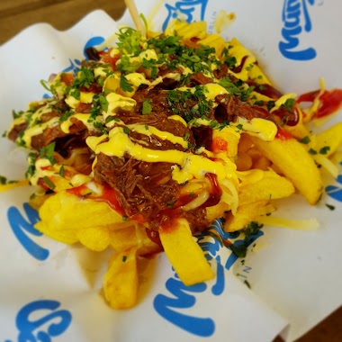
Bar nearby Meet & Fit - Slow Food
Coronavirus disease (COVID-19) Situation
confirmed cases
6661991
deaths
120598
Poland
Bar nearby Meet & Fit - Slow Food
Meet & Fit - Slow Food
Okopowa 14, Lublin Poland
contacts phone
:
+48
Latitude:
51.2453334
, Longitude:
22.5544142
read more
nearest Bar
125 m
Hotel Wieniawski
Sądowa 6, Lublin
Bar
read more
260 m
Paprika Kebab
Krakowskie Przedmieście 68, Lublin
Bar
read more
311 m
Pub Bawarski Bierpub
Krakowskie Przedmieście 55, Lublin
Bar
read more
311 m
Opium cafe
Hugona Kołłątaja 3, Lublin
Bar
read more
323 m
CityWine
Krótka 3, Lublin
Bar
read more
323 m
Co jest grane?
Hugona Kołłątaja 3, Lublin
Bar
read more
330 m
Bożewska Bożena. Pub, winiarnia
Hugona Kołłątaja 6, Lublin
Bar
read more
330 m
Bila
Kołłątaja 6, Lublin
Bar
read more
338 m
Bar u Tatarzyna
Górna 2, Lublin
Bar
read more
415 m
Bar Promyk
Ewangelicka 8, Lublin
Bar
read more
527 m
Just Crafted
Cicha 2, Lublin
Bar
read more
631 m
Piwiarnia Warecka
Staszica 1, Lublin
Bar
read more
658 m
Ciepło Zimno
26, Krakowskie Przedmieście, Lublin
Bar
read more
667 m
Pijalnia Wódki i Piwa
Krakowskie Przedmieście 24, Lublin
Bar
read more
698 m
MUNCHIES Lublin
Zielona 5a, Lublin
Bar
read more
740 m
MYSTIC Pub & Restaurant
Stanisława Staszica 12/7, Lublin
Bar
read more
797 m
Pub Cdn
Świętoduska 6, Lublin
Bar
read more
805 m
Meritum
Krakowskie Przedmieście 2, Lublin
Bar
read more
918 m
Perłowa Pijalnia Piwa
Bernardyńska 15A, Lublin
Bar
read more
925 m
Krokiecik. Bar
Lubartowska 17, Lublin
Bar
read more
929 m
PUBLIKA
Olejna 5, Lublin
Bar
read more
985 m
Whisky Cafe
Rybna 4, Lublin
Bar
read more
1.026 km
Bagatela Pub
Grodzka 1, Lublin
Bar
read more
1.031 km
CAP PUB
Grodzka 3, Lublin
Bar
read more
1.054 km
Admiral casino
Kowalska 5, Lublin
Bar
read more
📑
all categories
Accounting
Administrative area level 1
Administrative area level 2
Airport
Amusement park
Aquarium
Art gallery
Atm
Bakery
Bank
Bar
Beauty salon
Bicycle store
Book store
Bowling alley
Bus station
Cafe
Campground
Car dealer
Car rental
Car repair
Car wash
Casino
Cemetery
Church
City hall
Clothing store
Colloquial area
Convenience store
Courthouse
Dentist
Department store
Doctor
Electrician
Electronics store
Embassy
Finance
Fire station
Florist
Food
Funeral home
Furniture store
Gas station
General contractor
Grocery or supermarket
Gym
Hair care
Hardware store
Health
Hindu Temple
Home goods store
Hospital
Insurance agency
Intersection
Jewelry store
Laundry
Lawyer
Library
Light rail station
Liquor store
Local government office
Locality
Locksmith
Lodging
Meal delivery
Meal takeaway
Mosque
Movie rental
Movie theater
Moving company
Museum
Natural feature
Neighborhood
Night club
Painter
Park
Parking
Pet store
Pharmacy
Physiotherapist
Place of worship
Plumber
Point of interest
Police
Political
Post office
Premise
Real estate agency
Restaurant
Roofing contractor
Route
Rv park, camping
School
Shoe store
Shopping mall
Spa
Stadium
Storage
Store
Subpremise
Subway station
Supermarket
Synagogue
Taxi stand
Train station
Transit station
Travel agency
University
Veterinary care
Zoo
administrative area level 3
sublocality level 1
↑