Atm nearby Euronet
Coronavirus disease (COVID-19) Situation
confirmed cases
6661991
deaths
120598
Poland
Atm nearby Euronet
Euronet
6/8, Wojska Polskiego, 60-101, Poznań, Poznań, PL Polska
contacts phone
:
+48
website:
www.euronetpolska.pl
Latitude:
52.424514
, Longitude:
16.9085434
larger map & directions
read more
nearest Atm
52 m
Przystanek
Wojska Polskiego 6, Poznań
Atm
read more
297 m
Planet Cash
Sokoła 26, Poznań
Atm
read more
297 m
Planet Cash. Bankomat
Sokoła 26, Poznań
Atm
read more
297 m
Planet Cash. ATM
Sokoła 26, Poznań
Atm
read more
320 m
eCard. Bankomat
Sokoła 26, Poznań
Atm
read more
370 m
PKO Polish Bank
Wojska Polskiego 28, Poznań
Atm
read more
711 m
PKO
Błękitna 1, Poznań
Atm
read more
740 m
Euronet
Piątkowska 78, Poznań
Atm
read more
1.014 km
PKO Bank Polski
osiedle Przyjaźni 141A, Poznań
Atm
read more
1.413 km
Planet Cash. Wpłatomat
Aleje Solidarności 51, Poznań
Atm
read more
1.538 km
Bankomat - Alior Bank
Dąbrowskiego 10, Poznań
Atm
read more
1.557 km
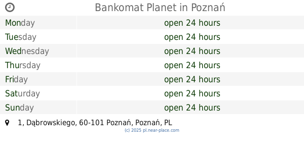
Bankomat Planet
Dąbrowskiego 1, Poznań
Atm
read more
1.614 km
Euronet
al. Solidarności 46, Credit Agricole Bank Polska S.A., Poznań
Atm
read more
1.798 km
Euronet
Księcia Mieszka I 28, Poznań
Atm
read more
1.82 km
Euronet
Drużbickiego 2, Poznań
Atm
read more
1.88 km
PKO Polish Bank
Gronowa 22A, Poznań
Atm
read more
1.884 km
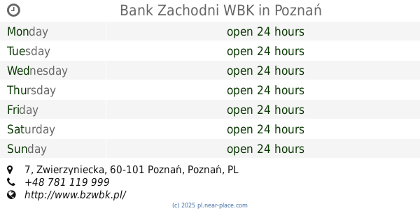
Bank Zachodni WBK
Zwierzyniecka 7, Poznań
Atm
read more
1.891 km
Bank Pekao
ul. Słowiańska 53 C, siedziba Oddziału, Poznań
Atm
read more
1.989 km
Euronet - bankomat/wpłatomat
Szpitalna 6, Poznań
Atm
read more
2.092 km
BJJ AZS UAM Berserker's Team
Szamarzewskiego 89, Poznań
Atm
read more
2.135 km
Bank Zachodni WBK
Święty Marcin 66/72, Poznań
Atm
read more
2.183 km
Bankomat Banku Pekao S.A.
ul. Święty Marcin 52/56, siedziba Oddziału, Poznań
Atm
read more
2.219 km
PKO Polish Bank
Osiedle Wichrowe Wzgórze 120, Poznań
Atm
read more
2.255 km
Bank BPH - Bankomat partnerski
Ratajczaka 31, Poznań
Atm
read more
2.472 km
bankomat euronet
Szkolna 1, Poznań
Atm
read more
📑
all categories
Accounting
Administrative area level 1
Administrative area level 2
Airport
Amusement park
Aquarium
Art gallery
Atm
Bakery
Bank
Bar
Beauty salon
Bicycle store
Book store
Bowling alley
Bus station
Cafe
Campground
Car dealer
Car rental
Car repair
Car wash
Casino
Cemetery
Church
City hall
Clothing store
Colloquial area
Convenience store
Courthouse
Dentist
Department store
Doctor
Electrician
Electronics store
Embassy
Finance
Fire station
Florist
Food
Funeral home
Furniture store
Gas station
General contractor
Grocery or supermarket
Gym
Hair care
Hardware store
Health
Hindu Temple
Home goods store
Hospital
Insurance agency
Intersection
Jewelry store
Laundry
Lawyer
Library
Light rail station
Liquor store
Local government office
Locality
Locksmith
Lodging
Meal delivery
Meal takeaway
Mosque
Movie rental
Movie theater
Moving company
Museum
Natural feature
Neighborhood
Night club
Painter
Park
Parking
Pet store
Pharmacy
Physiotherapist
Place of worship
Plumber
Point of interest
Police
Political
Post office
Premise
Real estate agency
Restaurant
Roofing contractor
Route
Rv park, camping
School
Shoe store
Shopping mall
Spa
Stadium
Storage
Store
Subpremise
Subway station
Supermarket
Synagogue
Taxi stand
Train station
Transit station
Travel agency
University
Veterinary care
Zoo
administrative area level 3
sublocality level 1
↑