Atm nearby Bankomat ING
Poland
Atm nearby Bankomat ING
Bankomat ING
30, Stawowa, 41-608, Świętochłowice, Świętochłowice, PL Polska
contacts phone
:
+48
Latitude:
50.3118873
, Longitude:
18.9159235
larger map & directions
read more
nearest Atm
205 m
ING
Łagiewnicka 57, Świętochłowice
Atm
read more
597 m
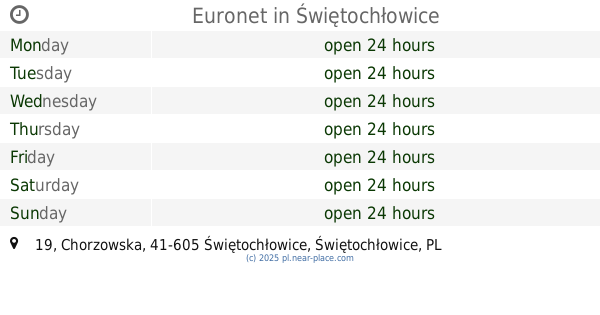
Euronet
ul. Sportowa, Biedronka, Świętochłowice
Atm
read more
673 m
PKO BP
Chorzowska 38, Świętochłowice
Atm
read more
814 m
Euronet
Chorzowska 19, Świętochłowice
Atm
read more
912 m
Bank Zachodni WBK Bankomat
Norberta Barlickiego 34, Świętochłowice
Atm
read more
990 m
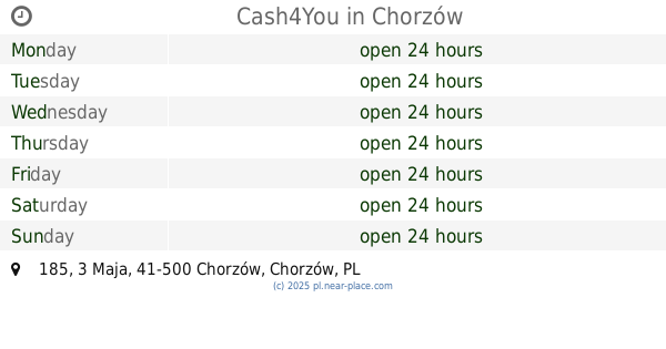
Cash4You
3 Maja 185, Chorzów
Atm
read more
1.014 km
Euronet
3-go Maja 185, Chorzów
Atm
read more
1.074 km
Planet Cash. Bankomat
Korfantego 1, Świętochłowice
Atm
read more
1.124 km
ING Bank Slaski S.A. Bankomat
Korfantego 1, Świętochłowice
Atm
read more
1.625 km
Planet Cash. Bankomat
Świętochłowicka 3A, Bytom
Atm
read more
1.638 km
ING Bank Śląski SA
Świętochłowicka 3A, Bytom
Atm
read more
2.033 km
Euronet Polska Sp z o. o.
ul. Chorzowska 88a, Selgros Cash & Carry, Bytom
Atm
read more
2.034 km
PKO BP
Goduli 31, Ruda Śląska
Atm
read more
2.057 km
DB
Chorzowska 88A, Bytom
Atm
read more
2.059 km
Planet Cash. Bankomat
Krzyżowa 32, Bytom
Atm
read more
2.091 km
Planet Cash
Świętego Piotra 14, Chorzów
Atm
read more
2.099 km
Planet Cash
Beskidzka 1, Chorzów
Atm
read more
2.174 km
Euronet
Chorzowska 86, Bytom
Atm
read more
2.175 km
Multibank
Chorzowska 86, Bytom
Atm
read more
2.226 km
DB
Żołnierzy Września 22, Chorzów
Atm
read more
2.246 km
Euronet
E.Leclerc, Żołnierzy Września 22, Chorzów
Atm
read more
2.253 km
Euronet
Goduli 45, Ruda Śląska
Atm
read more
2.515 km
Euronet Polska Sp z o. o.
Katowicka 25, Świętochłowice
Atm
read more
2.979 km
Planet Cash. ATM
Stefana Żeromskiego 4, Chorzów
Atm
read more
4.066 km
Bankomat BGŻ BNP
Niedurnego 38B, Ruda Śląska
Atm
read more
📑
all categories
Accounting
Administrative area level 1
Administrative area level 2
Airport
Amusement park
Aquarium
Art gallery
Atm
Bakery
Bank
Bar
Beauty salon
Bicycle store
Book store
Bowling alley
Bus station
Cafe
Campground
Car dealer
Car rental
Car repair
Car wash
Casino
Cemetery
Church
City hall
Clothing store
Colloquial area
Convenience store
Courthouse
Dentist
Department store
Doctor
Electrician
Electronics store
Embassy
Finance
Fire station
Florist
Food
Funeral home
Furniture store
Gas station
General contractor
Grocery or supermarket
Gym
Hair care
Hardware store
Health
Hindu Temple
Home goods store
Hospital
Insurance agency
Intersection
Jewelry store
Laundry
Lawyer
Library
Light rail station
Liquor store
Local government office
Locality
Locksmith
Lodging
Meal delivery
Meal takeaway
Mosque
Movie rental
Movie theater
Moving company
Museum
Natural feature
Neighborhood
Night club
Painter
Park
Parking
Pet store
Pharmacy
Physiotherapist
Place of worship
Plumber
Point of interest
Police
Political
Post office
Premise
Real estate agency
Restaurant
Roofing contractor
Route
Rv park, camping
School
Shoe store
Shopping mall
Spa
Stadium
Storage
Store
Subpremise
Subway station
Supermarket
Synagogue
Taxi stand
Train station
Transit station
Travel agency
University
Veterinary care
Zoo
administrative area level 3
sublocality level 1
↑