Supermarket nearby RoxMb
Poland
Supermarket nearby RoxMb
RoxMb
174, Aleja Wojska Polskiego, 62-800, Kalisz, Kalisz, PL Polen
contacts phone
:
+48 23 389 36 35
Latitude:
51.7680418
, Longitude:
18.0881769
larger map & directions
read more
nearest Supermarket
119 m
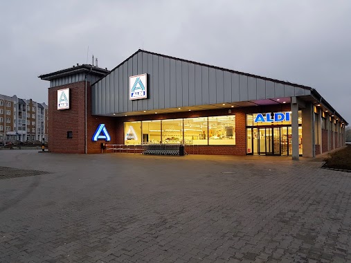
ALDI
Aleja Wojska Polskiego 176, Kalisz
Supermarket
read more
119 m
ALDI Kalisz
Aleja Wojska Polskiego 176, Kalisz
Supermarket
read more
243 m
Społem PSS Kalisz - Tęcza
3 Maja 1, Kalisz
Supermarket
read more
332 m
Carrefour Express
Kanonicka, Kalisz
Supermarket
read more
440 m
Stokrotka. Supermarket
Aleja Wojska Polskiego 151, Kalisz
Supermarket
read more
440 m
Stokrotka
Aleja Wojska Polskiego 151, Kalisz
Supermarket
read more
569 m
Biedronka
Babina 16, Kalisz
Supermarket
read more
674 m
Lidl
Piskorzewie 2, Kalisz
Supermarket
read more
1000 m
Biedronka
Aleja Wojska Polskiego 116, Kalisz
Supermarket
read more
1.071 km
Społem PSS Kalisz - Jubilat
Warszawska 39, Kalisz
Supermarket
read more
1.135 km
Sklep Odido
Ogrodowa 5, Kalisz
Supermarket
read more
1.352 km
Netto
Długa 2/4, Kalisz
Supermarket
read more
1.37 km
POLOmarket
Pułaskiego 41, Kalisz
Supermarket
read more
1.405 km
Radość
Górnośląska 12, Kalisz
Supermarket
read more
1.523 km
Dino
Trasa Bursztynowa, Kalisz
Supermarket
read more
1.611 km
Netto
Legionów 7, Kalisz
Supermarket
read more
1.619 km
Dino
Kalisz
Supermarket
read more
1.882 km
Carrefour
Poznańska 121-131, Kalisz
Supermarket
read more
2.137 km
Lidl
Górnośląska 53/55, Kalisz
Supermarket
read more
2.333 km
Supermercado Lidl
Podmiejska 35, Kalisz
Supermarket
read more
2.334 km
ABC
Aleja Wojska Polskiego 76, Kalisz
Supermarket
read more
2.341 km
Cukiernia Dziadka Rocha
Serbinowska 1A, Kalisz
Supermarket
read more
2.402 km
Piotr i Paweł
Młynarska 131, Kalisz
Supermarket
read more
2.447 km
Polomarket
Widok 97, Kalisz
Supermarket
read more
2.665 km
Biedronka
Podmiejska 32a, Kalisz
Supermarket
read more
📑
all categories
Accounting
Administrative area level 1
Administrative area level 2
Airport
Amusement park
Aquarium
Art gallery
Atm
Bakery
Bank
Bar
Beauty salon
Bicycle store
Book store
Bowling alley
Bus station
Cafe
Campground
Car dealer
Car rental
Car repair
Car wash
Casino
Cemetery
Church
City hall
Clothing store
Colloquial area
Convenience store
Courthouse
Dentist
Department store
Doctor
Electrician
Electronics store
Embassy
Finance
Fire station
Florist
Food
Funeral home
Furniture store
Gas station
General contractor
Grocery or supermarket
Gym
Hair care
Hardware store
Health
Hindu Temple
Home goods store
Hospital
Insurance agency
Intersection
Jewelry store
Laundry
Lawyer
Library
Light rail station
Liquor store
Local government office
Locality
Locksmith
Lodging
Meal delivery
Meal takeaway
Mosque
Movie rental
Movie theater
Moving company
Museum
Natural feature
Neighborhood
Night club
Painter
Park
Parking
Pet store
Pharmacy
Physiotherapist
Place of worship
Plumber
Point of interest
Police
Political
Post office
Premise
Real estate agency
Restaurant
Roofing contractor
Route
Rv park, camping
School
Shoe store
Shopping mall
Spa
Stadium
Storage
Store
Subpremise
Subway station
Supermarket
Synagogue
Taxi stand
Train station
Transit station
Travel agency
University
Veterinary care
Zoo
administrative area level 3
sublocality level 1
↑