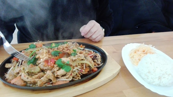
Restaurant nearby Rafaello
Coronavirus disease (COVID-19) Situation
confirmed cases
6661991
deaths
120598
Poland
Restaurant nearby Rafaello
Rafaello
Marszałkowska 45/49, Warszawa Polska
contacts phone
:
+48
Latitude:
52.2209396
, Longitude:
21.0168185
read more
nearest Restaurant
59 m
Le Loup Bistro
plac Konstytucji 1, Warszawa
Restaurant
read more
65 m
Soto Sushi
Ludwika Waryńskiego 28, Warszawa
Restaurant
read more
173 m
30 Koszyków
Koszykowa 30, Warszawa
Restaurant
read more
196 m
Handroll
Nowowiejska 5, Warszawa
Restaurant
read more
235 m
PHO HUNG THIEN
00-001, Natolińska 3, Warszawa
Restaurant
read more
366 m
Koh Phangan
Piękna 9a, Warszawa
Restaurant
read more
439 m
OMAMI
Krucza 6/14, Warszawa
Restaurant
read more
442 m
Waw Pho
Stanisława Noakowskiego 14, Warszawa
Restaurant
read more
449 m
SOKOTRA
Wilcza 27, Warszawa
Restaurant
read more
458 m
Bierhalle
Koszykowa 63, Warszawa
Restaurant
read more
531 m
Tel Aviv Food & Wine
Poznańska 11, Warszawa
Restaurant
read more
613 m
Pierogowo Hoża 41
Hoża 41, Warszawa
Restaurant
read more
649 m
Cafe Stary Młynek
aleje Ujazdowskie 6A, Warszawa
Restaurant
read more
735 m
ZA’ATAR Lahmacun Falafel & Hummus
Warsaw
Restaurant
read more
743 m
Bistro SPATiF
Mokotowska 58, Warszawa
Restaurant
read more
784 m
Xin Chao
Marszałkowska 4, Warszawa
Restaurant
read more
790 m
Peonia-Rosa
Wspólna 65A, Warszawa
Restaurant
read more
852 m
Vinyl Club i Restauracja
Żurawia 22, Warszawa
Restaurant
read more
947 m
Arirang Restaurant
Nowogrodzka 38, Warszawa
Restaurant
read more
956 m
Tian House
Puławska 1A, Warszawa
Restaurant
read more
985 m
Metro Jazz Bar & Bistro
00-693, Marszałkowska 99A, Warszawa
Restaurant
read more
988 m
Qchnia Artystyczna
Jazdów 2, Warszawa
Restaurant
read more
1.02 km
Take. By Żurawina
Złota 59, Warszawa
Restaurant
read more
1.031 km
CUD MIÓD
Emilii Plater 28, Warszawa
Restaurant
read more
1.232 km
McDonald's Restaurant
Aleje Jerozolimskie 54, Warszawa
Restaurant
read more
📑
all categories
Accounting
Administrative area level 1
Administrative area level 2
Airport
Amusement park
Aquarium
Art gallery
Atm
Bakery
Bank
Bar
Beauty salon
Bicycle store
Book store
Bowling alley
Bus station
Cafe
Campground
Car dealer
Car rental
Car repair
Car wash
Casino
Cemetery
Church
City hall
Clothing store
Colloquial area
Convenience store
Courthouse
Dentist
Department store
Doctor
Electrician
Electronics store
Embassy
Finance
Fire station
Florist
Food
Funeral home
Furniture store
Gas station
General contractor
Grocery or supermarket
Gym
Hair care
Hardware store
Health
Hindu Temple
Home goods store
Hospital
Insurance agency
Intersection
Jewelry store
Laundry
Lawyer
Library
Light rail station
Liquor store
Local government office
Locality
Locksmith
Lodging
Meal delivery
Meal takeaway
Mosque
Movie rental
Movie theater
Moving company
Museum
Natural feature
Neighborhood
Night club
Painter
Park
Parking
Pet store
Pharmacy
Physiotherapist
Place of worship
Plumber
Point of interest
Police
Political
Post office
Premise
Real estate agency
Restaurant
Roofing contractor
Route
Rv park, camping
School
Shoe store
Shopping mall
Spa
Stadium
Storage
Store
Subpremise
Subway station
Supermarket
Synagogue
Taxi stand
Train station
Transit station
Travel agency
University
Veterinary care
Zoo
administrative area level 3
sublocality level 1
↑