Restaurant nearby Gospody Wiejskiej
Coronavirus disease (COVID-19) Situation
confirmed cases
6661991
deaths
120598
Poland
Restaurant nearby Gospody Wiejskiej
Gospody Wiejskiej
Szerokie 37, lubelskie Poland
contacts phone
:
+48
Latitude:
51.2539525
, Longitude:
22.4757862
read more
nearest Restaurant
48 m
Gospoda Wiejska M.Gawidziel
Szerokie 37, Lublin
Restaurant
read more
501 m
ABC PIZZA
Szerokie 120A, Szerokie
Restaurant
read more
545 m
Centrum Etiuda, Hotel i Restauracja
Szerokie 123, Lublin
Restaurant
read more
1.39 km
Euro-Dag. Frydecka D.
Sławin 47, Lublin
Restaurant
read more
2.357 km
MOZZA
aleja Warszawska 95, Lublin
Restaurant
read more
2.377 km
Polish Burger Lublin
Nałęczowska 67, Lublin
Restaurant
read more
2.385 km
Piri-Piri Kebab - produkcja własnej baraniny
Nałęczowska 67, Lublin
Restaurant
read more
2.425 km
Cleopatra. Restauracja
Orkana 4, Lublin
Restaurant
read more
2.453 km
Tesco Bistro
Orkana 4, Lublin
Restaurant
read more
2.49 km
ReStart To i Owo
Konstantynów 1G, Lublin
Restaurant
read more
2.526 km
1010kawa&buła
Aleja Kraśnicka 100, Lublin
Restaurant
read more
2.649 km
McDonald's
Aleja Kraśnicka 130, Lublin
Restaurant
read more
2.651 km
Dominium
Orkana 6, Lublin
Restaurant
read more
2.662 km
Ranch Burger & pizza
Zbożowa 16, Lublin
Restaurant
read more
2.847 km
Kawa i Ława
Zygmunta Krasińskiego 11, Lublin
Restaurant
read more
2.866 km
Pycha w Cieście GARMAŻERKA
Dragonów 3B, Lublin
Restaurant
read more
2.876 km
Capri
Dragonów 20, Lublin
Restaurant
read more
2.892 km
Galeria Smaków
Karola Namysłowskiego 13, Lublin
Restaurant
read more
2.902 km
Karczma Zapiecek
16a, Dębówka
Restaurant
read more
2.939 km
Global Blue
Jana Pawła II 59, Lublin
Restaurant
read more
2.996 km
Garmażerka STAŚ
Kolorowa 26, Lublin
Restaurant
read more
3.06 km
Zielony Wiatrak
Szaserów 2, Lublin
Restaurant
read more
3.251 km
Złoty Kurczak. Roczeń K.
Leonarda 3, Lublin
Restaurant
read more
3.73 km
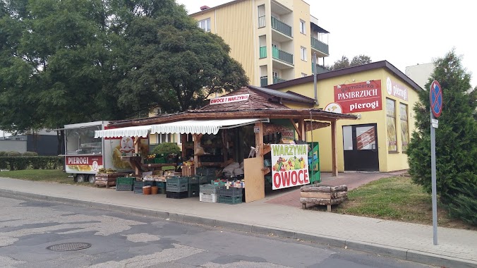
Pasibrzuch
Różana 1, Lublin
Restaurant
read more
3.813 km
Mąka z Wodą
Bociania 1/3, Lublin
Restaurant
read more
📑
all categories
Accounting
Administrative area level 1
Administrative area level 2
Airport
Amusement park
Aquarium
Art gallery
Atm
Bakery
Bank
Bar
Beauty salon
Bicycle store
Book store
Bowling alley
Bus station
Cafe
Campground
Car dealer
Car rental
Car repair
Car wash
Casino
Cemetery
Church
City hall
Clothing store
Colloquial area
Convenience store
Courthouse
Dentist
Department store
Doctor
Electrician
Electronics store
Embassy
Finance
Fire station
Florist
Food
Funeral home
Furniture store
Gas station
General contractor
Grocery or supermarket
Gym
Hair care
Hardware store
Health
Hindu Temple
Home goods store
Hospital
Insurance agency
Intersection
Jewelry store
Laundry
Lawyer
Library
Light rail station
Liquor store
Local government office
Locality
Locksmith
Lodging
Meal delivery
Meal takeaway
Mosque
Movie rental
Movie theater
Moving company
Museum
Natural feature
Neighborhood
Night club
Painter
Park
Parking
Pet store
Pharmacy
Physiotherapist
Place of worship
Plumber
Point of interest
Police
Political
Post office
Premise
Real estate agency
Restaurant
Roofing contractor
Route
Rv park, camping
School
Shoe store
Shopping mall
Spa
Stadium
Storage
Store
Subpremise
Subway station
Supermarket
Synagogue
Taxi stand
Train station
Transit station
Travel agency
University
Veterinary care
Zoo
administrative area level 3
sublocality level 1
↑