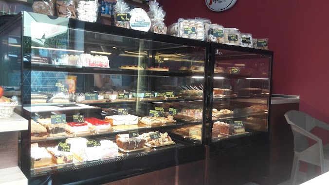
Restaurant nearby Bistro Kolejowa 17
Coronavirus disease (COVID-19) Situation
confirmed cases
6661991
deaths
120598
Poland
Restaurant nearby Bistro Kolejowa 17
Bistro Kolejowa 17
Kolejowa 17, Katowice Polska
contacts phone
:
+48
Latitude:
50.2244667
, Longitude:
18.982598
read more
nearest Restaurant
426 m
No 18 cafe bistro
Panewnicka 1, Katowice
Restaurant
read more
678 m
City Pizza
Kołobrzeska 32-34, Katowice
Restaurant
read more
751 m
Pierogarnia Sielanka
Koszalińska 10, Katowice
Restaurant
read more
751 m
Tadayuki
Kolejowa 54, Katowice
Restaurant
read more
757 m
Karcma Pod Strzechom
Grzyśki 13B, Katowice
Restaurant
read more
792 m
Nova
Franciszkańska 33, Katowice
Restaurant
read more
795 m
Pychotka
Franciszkańska 33, Katowice
Restaurant
read more
849 m
O Rety Kotlety
Jankego 38, Katowice
Restaurant
read more
882 m
Giovane
Tomasza 12, Katowice
Restaurant
read more
1.012 km
MEGA-SMAK
Rolna 4, Katowice
Restaurant
read more
1.017 km
Zdrowa Krowa Jankego
Jankego 51, Katowice
Restaurant
read more
1.02 km
Pizzeria Gomorra
Jankego 52, Katowice
Restaurant
read more
1.03 km
RiminiPizza
Piotrowicka 79, Katowice
Restaurant
read more
1.07 km
Hurry Curry
Panewnicka 27, Katowice
Restaurant
read more
1.073 km
Kokiza Pizza & Pasta
Kredytowa 3, Katowice
Restaurant
read more
1.094 km
Mega-Smak
Jankego 59, Katowice
Restaurant
read more
1.118 km
Restauracja McDonald's
Woźniczki 15, Katowice
Restaurant
read more
1.248 km
Sushi SEN
Brynowska 65, Katowice
Restaurant
read more
1.269 km
Hanedan grill kebab
Brynowska 63, Katowice
Restaurant
read more
1.34 km
Cztery kąty i Smak Piąty
Jankego 73, Katowice
Restaurant
read more
1.69 km
Restauracja Mango
Spółdzielczości 22, Katowice
Restaurant
read more
1.774 km
Sezar Kebab
31-35, Fredry, Katowice
Restaurant
read more
1.811 km
Polanos Urbanos
Asnyka, Katowice
Restaurant
read more
1.903 km
Restauracja „WUJEK” s.c. Lech, Maria Łabaj
Pola 73, Katowice
Restaurant
read more
1.938 km
Bistro i Sklep Klinika Smaku
Ziołowa 47, Katowice
Restaurant
read more
📑
all categories
Accounting
Administrative area level 1
Administrative area level 2
Airport
Amusement park
Aquarium
Art gallery
Atm
Bakery
Bank
Bar
Beauty salon
Bicycle store
Book store
Bowling alley
Bus station
Cafe
Campground
Car dealer
Car rental
Car repair
Car wash
Casino
Cemetery
Church
City hall
Clothing store
Colloquial area
Convenience store
Courthouse
Dentist
Department store
Doctor
Electrician
Electronics store
Embassy
Finance
Fire station
Florist
Food
Funeral home
Furniture store
Gas station
General contractor
Grocery or supermarket
Gym
Hair care
Hardware store
Health
Hindu Temple
Home goods store
Hospital
Insurance agency
Intersection
Jewelry store
Laundry
Lawyer
Library
Light rail station
Liquor store
Local government office
Locality
Locksmith
Lodging
Meal delivery
Meal takeaway
Mosque
Movie rental
Movie theater
Moving company
Museum
Natural feature
Neighborhood
Night club
Painter
Park
Parking
Pet store
Pharmacy
Physiotherapist
Place of worship
Plumber
Point of interest
Police
Political
Post office
Premise
Real estate agency
Restaurant
Roofing contractor
Route
Rv park, camping
School
Shoe store
Shopping mall
Spa
Stadium
Storage
Store
Subpremise
Subway station
Supermarket
Synagogue
Taxi stand
Train station
Transit station
Travel agency
University
Veterinary care
Zoo
administrative area level 3
sublocality level 1
↑