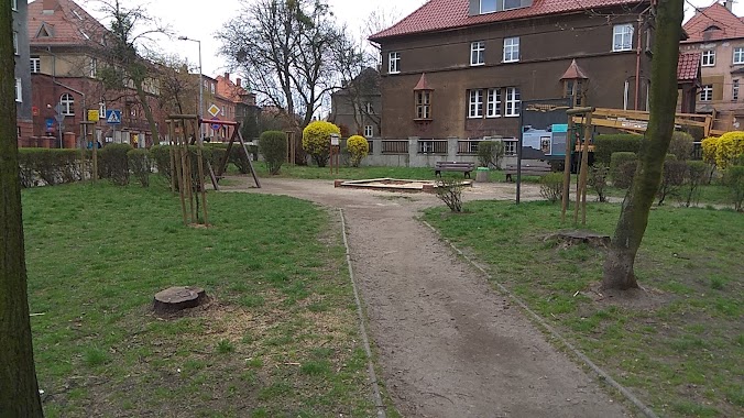
Park nearby Rodzinny Ogród Działkowy ŁAN
Poland
Park nearby Rodzinny Ogród Działkowy ŁAN
Rodzinny Ogród Działkowy ŁAN
41-900 Bytom, Polska
contacts phone
:
+48
Latitude:
50.363329
, Longitude:
18.9018662
larger map & directions
read more
nearest Park
181 m
Rod Malwa
Strzelców Bytomskich 50, Bytom
Park
read more
437 m
Staw Pod Topolami
Bytom
Park
read more
442 m
ROD KOŚCIUSZKO
Piłkarska, Bytom
Park
read more
588 m
Ogródek Jaś
Piłkarska, Bytom
Park
read more
618 m
Ogródki Działkowe MALWA
Bytom
Park
read more
618 m
Allotment gardens "Malwa"
Bytom
Park
read more
841 m
Rodzinne Ogrody Działkowe Zagroda Polska
aleja Olimpijska, Bytom
Park
read more
934 m
Skwer im Ojca Ryszarda Ślebody
Bytom
Park
read more
992 m
Wyspa Marzeń
Poland
Park
read more
1.088 km
Skwer Rodła
Unnamed Road, Bytom
Park
read more
1.207 km
City Park im. F. Kachla
Wrocławska 41-902, Bytom
Park
read more
1.207 km
Park Miejski Kachla
Wrocławska 41-902, Bytom
Park
read more
1.321 km
Rzeźby Czapli
Bytom
Park
read more
1.468 km
Skwer im Św Matki Teresy z Kalkuty
Bytom ul, Strzelców Bytomskich 16, Bytom
Park
read more
1.494 km
Skup Zlomu
Zofii Nałkowskiej 51, Radzionków
Park
read more
1.597 km
Aleja Marka Sienickiego
Unnamed Road, 41-902
Park
read more
1.608 km
Plac Targalskiego
Bytom
Park
read more
1.657 km
Skwer Podkomisarza Tadeusza Bartosika
Księdza Franciszka Nawrota 24A, Bytom
Park
read more
1.659 km
Skwer George Bruninga
Unnamed Road, Bytom
Park
read more
1.734 km
Skwer Ojca Adama Wiktora
Kazimierza Pułaskiego 7-1, 41-902, Bytom
Park
read more
2.031 km
M1 Park Trampolin
Strzelców Bytomskich, Bytom
Park
read more
2.213 km
Pomnik Towarzystwa Strzeleckiego Bractwa Kurkowego w Bytomiu
Bytom
Park
read more
2.271 km
Plac Andrzeja Hiolskiego
Bytom
Park
read more
2.416 km
Skwer Sikorskiego
Bytom
Park
read more
2.651 km
Pomnik Marii Konopnickiej
Bytom
Park
read more
📑
all categories
Accounting
Administrative area level 1
Administrative area level 2
Airport
Amusement park
Aquarium
Art gallery
Atm
Bakery
Bank
Bar
Beauty salon
Bicycle store
Book store
Bowling alley
Bus station
Cafe
Campground
Car dealer
Car rental
Car repair
Car wash
Casino
Cemetery
Church
City hall
Clothing store
Colloquial area
Convenience store
Courthouse
Dentist
Department store
Doctor
Electrician
Electronics store
Embassy
Finance
Fire station
Florist
Food
Funeral home
Furniture store
Gas station
General contractor
Grocery or supermarket
Gym
Hair care
Hardware store
Health
Hindu Temple
Home goods store
Hospital
Insurance agency
Intersection
Jewelry store
Laundry
Lawyer
Library
Light rail station
Liquor store
Local government office
Locality
Locksmith
Lodging
Meal delivery
Meal takeaway
Mosque
Movie rental
Movie theater
Moving company
Museum
Natural feature
Neighborhood
Night club
Painter
Park
Parking
Pet store
Pharmacy
Physiotherapist
Place of worship
Plumber
Point of interest
Police
Political
Post office
Premise
Real estate agency
Restaurant
Roofing contractor
Route
Rv park, camping
School
Shoe store
Shopping mall
Spa
Stadium
Storage
Store
Subpremise
Subway station
Supermarket
Synagogue
Taxi stand
Train station
Transit station
Travel agency
University
Veterinary care
Zoo
administrative area level 3
sublocality level 1
↑