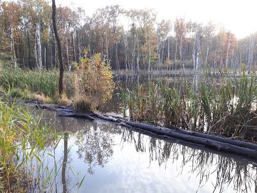
Park nearby Rezerwat Las Murckowski
Coronavirus disease (COVID-19) Situation
confirmed cases
6661991
deaths
120598
Poland
Park nearby Rezerwat Las Murckowski
Rezerwat Las Murckowski
40-749 Katowice, Polen
contacts phone
:
+48
Latitude:
50.1884193
, Longitude:
19.0485018
larger map & directions
read more
nearest Park
735 m
Las Murckowski
Lędzińska, Katowice
Park
read more
783 m
Park Murcki
Kołodzieja, Katowice
Park
read more
791 m
Park Murcki
Samsonowicza 21A, Katowice
Park
read more
1.034 km
Dolinka Murckowska
Katowice
Park
read more
1.24 km
ROD Wiesia
Mruczka 42-79, Katowice
Park
read more
2.795 km
Rozlewisko
Droga Leśna, Katowice
Park
read more
3.252 km
R.O.D. „ WESOŁA “
ul.3-go Maja 69a, Mysłowice
Park
read more
3.268 km
Ujscie rzeki slepiotka
Katowice
Park
read more
3.431 km
Park KWK Staszic
Katowice
Park
read more
3.666 km
Płone Bagno
Katowice
Park
read more
3.723 km
Rezerwat przyrody Ochojec
Zakątek, Katowice
Park
read more
3.927 km
Park Giszowiecki
Katowice
Park
read more
4.12 km
ROD "Nad Stawami"
Unnamed Road
Park
read more
4.243 km
ROD im Staszica
Kosmiczna, Katowice
Park
read more
4.498 km
Źródła Kłodnicy
73 Pułku Piechoty, Katowice
Park
read more
4.542 km
Jurajskie Ogrody. Projektowanie ogrodów, zakładanie ogrodów
Katowice
Park
read more
4.668 km
POD Barbara
Unnamed Road, Katowice
Park
read more
4.715 km
ROD "Oaza"
645, Radockiego 212-214, Katowice
Park
read more
4.735 km
skwer Michała Banasika
Katowice
Park
read more
5.196 km
Podleska Plaża
Katowice
Park
read more
5.528 km
Dolina Ślepiotki
Katowice
Park
read more
5.592 km
Park Bolina
Unnamed Road, Katowice
Park
read more
6.439 km
Ogródki działkowe Huta Rozalii
Unnamed Road, Mysłowice
Park
read more
10.911 km
Skwer Walentego Fojkisa
Katowice
Park
read more
13.964 km
Śląski Ogród Botaniczny
Grudniowa, Mikołów
Park
read more
📑
all categories
Accounting
Administrative area level 1
Administrative area level 2
Airport
Amusement park
Aquarium
Art gallery
Atm
Bakery
Bank
Bar
Beauty salon
Bicycle store
Book store
Bowling alley
Bus station
Cafe
Campground
Car dealer
Car rental
Car repair
Car wash
Casino
Cemetery
Church
City hall
Clothing store
Colloquial area
Convenience store
Courthouse
Dentist
Department store
Doctor
Electrician
Electronics store
Embassy
Finance
Fire station
Florist
Food
Funeral home
Furniture store
Gas station
General contractor
Grocery or supermarket
Gym
Hair care
Hardware store
Health
Hindu Temple
Home goods store
Hospital
Insurance agency
Intersection
Jewelry store
Laundry
Lawyer
Library
Light rail station
Liquor store
Local government office
Locality
Locksmith
Lodging
Meal delivery
Meal takeaway
Mosque
Movie rental
Movie theater
Moving company
Museum
Natural feature
Neighborhood
Night club
Painter
Park
Parking
Pet store
Pharmacy
Physiotherapist
Place of worship
Plumber
Point of interest
Police
Political
Post office
Premise
Real estate agency
Restaurant
Roofing contractor
Route
Rv park, camping
School
Shoe store
Shopping mall
Spa
Stadium
Storage
Store
Subpremise
Subway station
Supermarket
Synagogue
Taxi stand
Train station
Transit station
Travel agency
University
Veterinary care
Zoo
administrative area level 3
sublocality level 1
↑