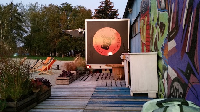
Night club nearby Czarna Krowa
Coronavirus disease (COVID-19) Situation
confirmed cases
6661991
deaths
120598
Poland
Night club nearby Czarna Krowa
Czarna Krowa
30-001, 12-200 Kraków, Polska
contacts phone
:
+48
Latitude:
50.0329402
, Longitude:
19.9936597
larger map & directions
read more
nearest Night club
927 m
Jadłodajnia Mała Chata
Lipska 49, Kraków
Night club
read more
1.079 km
Klubik u HIVwelma
Solarzy 2-12,30-827, Kraków
Night club
read more
1.376 km
Babbaluci
Gromadzka 53, Kraków
Night club
read more
1.728 km
No
Płaszowska, Kraków
Night club
read more
1.908 km
Bar GATO
1, Konstantego Brandla, Kraków
Night club
read more
2.698 km
Paint Ball
Kraków
Night club
read more
3.057 km
Kondzio
Bajeczna 3, Kraków
Night club
read more
3.938 km
Zaraz Wracam Tu
Miodowa 53, Kraków
Night club
read more
4.096 km
G19
Grzegórzecka 19, Kraków
Night club
read more
4.215 km
Klub Kabare
Krakowska 5, Kraków
Night club
read more
4.258 km
Prestige Music Club - Klub Muzyczny
31-050, Dietla 75, Kraków
Night club
read more
4.258 km
Dietla 75 Havana Night - Music Club
Dietla 75, Kraków
Night club
read more
4.838 km
Sapphire Gentlemen's Club
Mikołajska 11, Kraków
Night club
read more
4.852 km
Klub Awaria
Mikołajska 9, Kraków
Night club
read more
4.881 km
Let's Sing Karaoke Bar
Grodzka 34, Kraków
Night club
read more
5.007 km
Louis Music Club Pub
Rynek Główny 13, Kraków
Night club
read more
5.105 km
Klub B4
Bracka 4, Kraków
Night club
read more
5.144 km
One Club and Lounge
Rynek Główny 42, Kraków
Night club
read more
5.229 km
Afterbeng Domówka
Rynek Główny 28, Kraków
Night club
read more
5.253 km
DeCafencja
Sławkowska 4, Kraków
Night club
read more
5.286 km
The Point Club
Szewska 4, Kraków
Night club
read more
5.286 km
Klub Gorączka
Szewska 7, Kraków
Night club
read more
5.379 km
Klub 30
Tadeusza Kościuszki 3, Kraków
Night club
read more
5.628 km
Bar Majka
osiedle Teatralne, 11, Kraków
Night club
read more
5.676 km
Ciemnia
Krowoderska 31, Kraków
Night club
read more
📑
all categories
Accounting
Administrative area level 1
Administrative area level 2
Airport
Amusement park
Aquarium
Art gallery
Atm
Bakery
Bank
Bar
Beauty salon
Bicycle store
Book store
Bowling alley
Bus station
Cafe
Campground
Car dealer
Car rental
Car repair
Car wash
Casino
Cemetery
Church
City hall
Clothing store
Colloquial area
Convenience store
Courthouse
Dentist
Department store
Doctor
Electrician
Electronics store
Embassy
Finance
Fire station
Florist
Food
Funeral home
Furniture store
Gas station
General contractor
Grocery or supermarket
Gym
Hair care
Hardware store
Health
Hindu Temple
Home goods store
Hospital
Insurance agency
Intersection
Jewelry store
Laundry
Lawyer
Library
Light rail station
Liquor store
Local government office
Locality
Locksmith
Lodging
Meal delivery
Meal takeaway
Mosque
Movie rental
Movie theater
Moving company
Museum
Natural feature
Neighborhood
Night club
Painter
Park
Parking
Pet store
Pharmacy
Physiotherapist
Place of worship
Plumber
Point of interest
Police
Political
Post office
Premise
Real estate agency
Restaurant
Roofing contractor
Route
Rv park, camping
School
Shoe store
Shopping mall
Spa
Stadium
Storage
Store
Subpremise
Subway station
Supermarket
Synagogue
Taxi stand
Train station
Transit station
Travel agency
University
Veterinary care
Zoo
administrative area level 3
sublocality level 1
↑