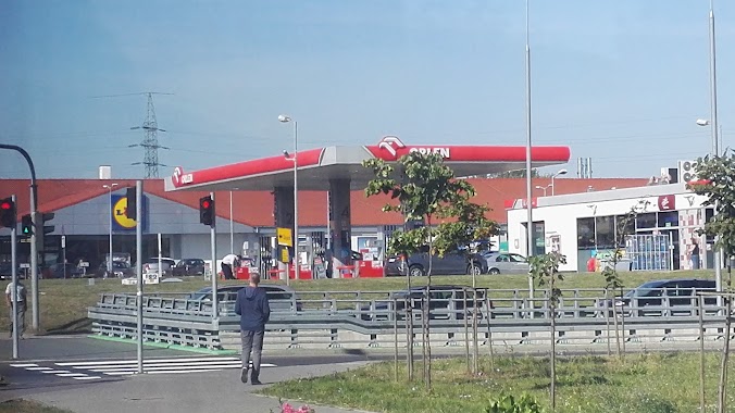
Gas station nearby Lotos
Poland
Gas station nearby Lotos
Lotos
1905 Roku 47, Radom Polska
contacts phone
:
+48
Latitude:
51.3896251
, Longitude:
21.1335516
read more
nearest Gas station
174 m
Stacja Paliw Satal
1905 Roku 66, Radom
Gas station
read more
236 m
LOTOS. Stacja paliw.
1905-go Roku 31/35, Radom
Gas station
read more
236 m
Lotos
1905-go Roku 31/35, Radom
Gas station
read more
562 m
PW MERA
Bolesława Limanowskiego 75/73, Radom
Gas station
read more
641 m
Stacja Paliw ORLEN
1905 Roku 24, Radom
Gas station
read more
812 m
Parking strzeżony całodobowy
Dębowa 25, Radom
Gas station
read more
820 m
PP Radom
Wierzbicka 146, Radom
Gas station
read more
881 m
Orlen
Wierzbicka 49, Radom
Gas station
read more
930 m
Stacja Paliw Orlen
Wierzbicka 49, Radom
Gas station
read more
1.161 km
Stacja Paliw Auto-Gaz
Bolesława Limanowskiego 97, Radom
Gas station
read more
1.237 km
transOil tanie paliwo
Bolesława Limanowskiego 26/30, Radom
Gas station
read more
1.27 km
Stacja Paliw Miejskiego Przedsiębiorstwa Komunikacji Sp. z o.o.
Wjazdowa 4, Radom
Gas station
read more
1.334 km
Konkret Sp z. o.o.
Mariana Mariańskiego 36, Radom
Gas station
read more
1.378 km
CNG Radom
Wjazdowa 4, Radom
Gas station
read more
1.396 km
Gas station E. Leclerc
Centrum Handlowe E. Leclerc, 620, Toruńska 1, Radom
Gas station
read more
1.453 km
Huzar
Tadeusza Mazowieckiego 79, Radom
Gas station
read more
1.454 km
Lukoil
Księcia Józefa Poniatowskiego 1, Radom
Gas station
read more
1.507 km
Poczta P
Wierzbicka 80C, Radom
Gas station
read more
1.535 km
Petrol Station ORLEN
Maratońska 57, Radom
Gas station
read more
1.828 km
Elektrix Sp. z o.o.
Staroopatowska 19, Radom
Gas station
read more
1.893 km
Circle K
ul, Jana Pawła II 11, Radom
Gas station
read more
1.959 km
Shell
Kielecka 82, Radom
Gas station
read more
1.967 km
Stacja Paliw ORLEN
Kielecka 22/24, Radom
Gas station
read more
2.002 km
BP
Kielecka 5, Radom
Gas station
read more
2.201 km
BP
Kazimierza Kelles-Krauza 1B, Radom
Gas station
read more
📑
all categories
Accounting
Administrative area level 1
Administrative area level 2
Airport
Amusement park
Aquarium
Art gallery
Atm
Bakery
Bank
Bar
Beauty salon
Bicycle store
Book store
Bowling alley
Bus station
Cafe
Campground
Car dealer
Car rental
Car repair
Car wash
Casino
Cemetery
Church
City hall
Clothing store
Colloquial area
Convenience store
Courthouse
Dentist
Department store
Doctor
Electrician
Electronics store
Embassy
Finance
Fire station
Florist
Food
Funeral home
Furniture store
Gas station
General contractor
Grocery or supermarket
Gym
Hair care
Hardware store
Health
Hindu Temple
Home goods store
Hospital
Insurance agency
Intersection
Jewelry store
Laundry
Lawyer
Library
Light rail station
Liquor store
Local government office
Locality
Locksmith
Lodging
Meal delivery
Meal takeaway
Mosque
Movie rental
Movie theater
Moving company
Museum
Natural feature
Neighborhood
Night club
Painter
Park
Parking
Pet store
Pharmacy
Physiotherapist
Place of worship
Plumber
Point of interest
Police
Political
Post office
Premise
Real estate agency
Restaurant
Roofing contractor
Route
Rv park, camping
School
Shoe store
Shopping mall
Spa
Stadium
Storage
Store
Subpremise
Subway station
Supermarket
Synagogue
Taxi stand
Train station
Transit station
Travel agency
University
Veterinary care
Zoo
administrative area level 3
sublocality level 1
↑