Gas station nearby GRUPA PEGAS
Poland
Gas station nearby GRUPA PEGAS
GRUPA PEGAS
14, Warszawska, 05-805, Kanie, pruszkowski, PL Polska
contacts phone
:
+48
Latitude:
52.1372016
, Longitude:
20.7680081
larger map & directions
read more
nearest Gas station
217 m
LPG
Brwinów
Gas station
read more
217 m
LPG
Poland
Gas station
read more
217 m
LPG
Gmina Brwinów
Gas station
read more
242 m
LPG
Kanie
Gas station
read more
2.121 km
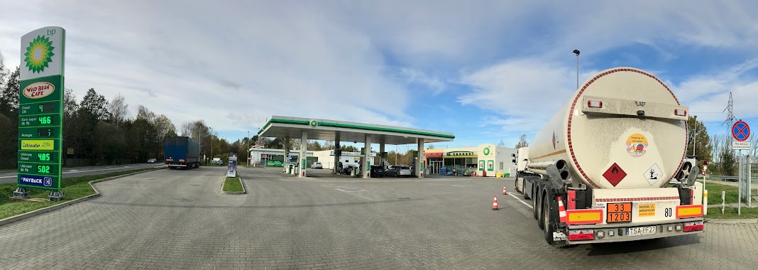
BP
Obwodnica 15, Brwinów
Gas station
read more
2.328 km
Galon Polska Sp. z o.o.
Aleja Wojska Polskiego 127, Pruszków
Gas station
read more
2.335 km
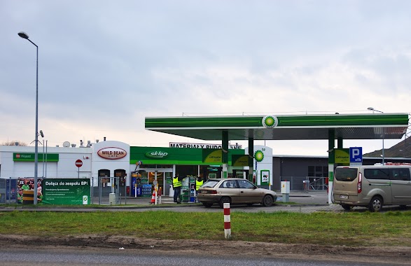
BP
Aleja Wojska Polskiego 127, Pruszków
Gas station
read more
3.268 km
Stacja Paliw LPG Staszica
Stanisława Staszica 1, Pruszków
Gas station
read more
4.237 km
paczkomat
Aleja Wojska Polskiego 4, Pruszków
Gas station
read more
4.244 km
Shell
Aleja Wojska Polskiego 4, Pruszków
Gas station
read more
4.262 km
PRUSZKÓW
Aleja Wojska Polskiego 4, Pruszków
Gas station
read more
4.719 km
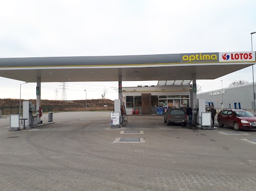
Stacja paliw LOTOS
Poznańska, Pruszków
Gas station
read more
4.8 km
BP
Poznańska 69, Pruszków
Gas station
read more
4.8 km
STACJA PALIW BP ŻBIK
Poznańska 69, Pruszków
Gas station
read more
4.871 km
Stacja Paliw ORLEN
Bohaterów Warszawy 7, Pruszków
Gas station
read more
4.918 km
Autogaz 24h
3 Maja 155, Pruszków
Gas station
read more
4.924 km
Stacja LPG Poznańska
3 Maja 3, Pruszków
Gas station
read more
4.942 km
MOYA
Pruszkowska 20E, Nadarzyn
Gas station
read more
4.942 km
Moya stacja paliw
Pruszkowska 20E, Nadarzyn
Gas station
read more
4.942 km
MOYA Nadarzyn II
Pruszkowska 20E, Nadarzyn
Gas station
read more
5.593 km
Lotos
Wolica 24b, Nadarzyn
Gas station
read more
6.224 km
ORLEN Petrol Station
Piastowska 4, Pruszków
Gas station
read more
6.224 km
Stacja Paliw ORLEN
Piastowska 4, Pruszków
Gas station
read more
6.296 km
LOTOS. Stacja paliw.
Aleje Jerozolimskie 404, Pruszków
Gas station
read more
6.678 km
stacja benzynowa
Brzozowa, Kajetany
Gas station
read more
📑
all categories
Accounting
Administrative area level 1
Administrative area level 2
Airport
Amusement park
Aquarium
Art gallery
Atm
Bakery
Bank
Bar
Beauty salon
Bicycle store
Book store
Bowling alley
Bus station
Cafe
Campground
Car dealer
Car rental
Car repair
Car wash
Casino
Cemetery
Church
City hall
Clothing store
Colloquial area
Convenience store
Courthouse
Dentist
Department store
Doctor
Electrician
Electronics store
Embassy
Finance
Fire station
Florist
Food
Funeral home
Furniture store
Gas station
General contractor
Grocery or supermarket
Gym
Hair care
Hardware store
Health
Hindu Temple
Home goods store
Hospital
Insurance agency
Intersection
Jewelry store
Laundry
Lawyer
Library
Light rail station
Liquor store
Local government office
Locality
Locksmith
Lodging
Meal delivery
Meal takeaway
Mosque
Movie rental
Movie theater
Moving company
Museum
Natural feature
Neighborhood
Night club
Painter
Park
Parking
Pet store
Pharmacy
Physiotherapist
Place of worship
Plumber
Point of interest
Police
Political
Post office
Premise
Real estate agency
Restaurant
Roofing contractor
Route
Rv park, camping
School
Shoe store
Shopping mall
Spa
Stadium
Storage
Store
Subpremise
Subway station
Supermarket
Synagogue
Taxi stand
Train station
Transit station
Travel agency
University
Veterinary care
Zoo
administrative area level 3
sublocality level 1
↑