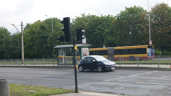
Bus station nearby Piłsudskiego - Popowskiego (szpital im. Korczaka) (4762)
Poland
Bus station nearby Piłsudskiego - Popowskiego (szpital im. Korczaka) (4762)
Piłsudskiego - Popowskiego (szpital im. Korczaka) (4762)
Poland Polska
contacts phone
:
+48
Latitude:
51.761174
, Longitude:
19.48304
read more
nearest Bus station
193 m
Śmigłego Rydza - Piłsudskiego (1148)
Poland
Bus station
read more
326 m
Piłsudskiego - Śmigłego-Rydza (0757)
Poland
Bus station
read more
379 m
Przędzalniana - Fabryczna (2285)
Poland
Bus station
read more
396 m
Nawrot - Przędzalniana
Poland
Bus station
read more
416 m
Fabryczna - Przędzalniana (0168)
Poland
Bus station
read more
419 m
Fabryczna - Przędzalniana (0167)
Poland
Bus station
read more
491 m
Śmigłego Rydza - Zbiorcza (1145)
Poland
Bus station
read more
497 m
Nawrot - Wysoka (0608)
Poland
Bus station
read more
503 m
Przędzalniana - Fabryczna (2284)
Poland
Bus station
read more
592 m
Wodna - Nawrot (4814)
Poland
Bus station
read more
644 m
Piłsudskiego - Targowa (4170)
Poland
Bus station
read more
648 m
Piłsudskiego - Targowa (4169)
Poland
Bus station
read more
651 m
Piłsudskiego - Sarnia (0756)
Poland
Bus station
read more
698 m
Przędzalniana - Tymienieckiego (0878)
Poland
Bus station
read more
711 m
Nawrot - Targowa (0607)
Poland
Bus station
read more
753 m
Tuwima - Wysoka (2286)
Poland
Bus station
read more
769 m
Tuwima - Wysoka (1225)
Poland
Bus station
read more
785 m
Piłsudskiego - Sarnia (0742)
Poland
Bus station
read more
827 m
Fabryczna - Targowa (0166)
Poland
Bus station
read more
855 m
Przędzalniana - Tymienieckiego (0882)
Poland
Bus station
read more
904 m
Piłsudskiego - Kilińskiego (0736)
Poland
Bus station
read more
925 m
Tymienieckiego - ŁSSE (1979)
Poland
Bus station
read more
1.093 km
Śmigłego Rydza - Milionowa (1143)
Poland
Bus station
read more
1.305 km
Dw. Łódź Fabryczna (2165)
Poland
Bus station
read more
1.31 km
Łódż, Dw. Łódź Fabryczna
Poland
Bus station
read more
📑
all categories
Accounting
Administrative area level 1
Administrative area level 2
Airport
Amusement park
Aquarium
Art gallery
Atm
Bakery
Bank
Bar
Beauty salon
Bicycle store
Book store
Bowling alley
Bus station
Cafe
Campground
Car dealer
Car rental
Car repair
Car wash
Casino
Cemetery
Church
City hall
Clothing store
Colloquial area
Convenience store
Courthouse
Dentist
Department store
Doctor
Electrician
Electronics store
Embassy
Finance
Fire station
Florist
Food
Funeral home
Furniture store
Gas station
General contractor
Grocery or supermarket
Gym
Hair care
Hardware store
Health
Hindu Temple
Home goods store
Hospital
Insurance agency
Intersection
Jewelry store
Laundry
Lawyer
Library
Light rail station
Liquor store
Local government office
Locality
Locksmith
Lodging
Meal delivery
Meal takeaway
Mosque
Movie rental
Movie theater
Moving company
Museum
Natural feature
Neighborhood
Night club
Painter
Park
Parking
Pet store
Pharmacy
Physiotherapist
Place of worship
Plumber
Point of interest
Police
Political
Post office
Premise
Real estate agency
Restaurant
Roofing contractor
Route
Rv park, camping
School
Shoe store
Shopping mall
Spa
Stadium
Storage
Store
Subpremise
Subway station
Supermarket
Synagogue
Taxi stand
Train station
Transit station
Travel agency
University
Veterinary care
Zoo
administrative area level 3
sublocality level 1
↑