Bar nearby U Bożeny. Bar
Coronavirus disease (COVID-19) Situation
confirmed cases
6661991
deaths
120598
Poland
Bar nearby U Bożeny. Bar
U Bożeny. Bar
15A, Kardynała Stefana Wyszyńskiego, 11-041, Olsztyn, Olsztyn, PL Polska
contacts phone
:
+48 89 533 20 08
website:
www.wesela-olsztyn.pl
Latitude:
53.7637704
, Longitude:
20.5026378
larger map & directions
read more
nearest Bar
510 m
U Bożeny. Bar
Metalowa 4, Olsztyn
Bar
read more
619 m
Tezar Firma Sprzątająca - Sprzątanie biur, magazynów, sklepów; mycie okien
Metalowa 7a/4, Olsztyn
Bar
read more
619 m
Tezar
Metalowa 7a/4, Olsztyn
Bar
read more
709 m
VENDING Automaty Do Kawy Olsztyn
5 Wileńskiej Brygady AK 17/16, Olsztyn
Bar
read more
1.063 km
Burczy Brzuszek
Władysława Leonharda 9, Olsztyn
Bar
read more
1.634 km
Kebab Mido
Barcza 48/5, Olsztyn
Bar
read more
1.716 km
Sklep Rybny-Smażalnia
Kołobrzeska 11B, Olsztyn
Bar
read more
2.009 km
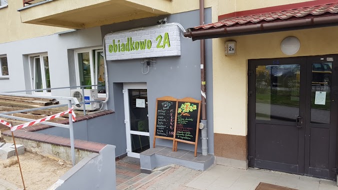
Obiadkowo
Korczaka 2A, Olsztyn
Bar
read more
2.135 km
Tortuga
Seweryna Pieniężnego 15, Olsztyn
Bar
read more
2.145 km
Stary Zaułek
Marii Rodziewiczówny 8, Olsztyn
Bar
read more
2.177 km
Pub Olsztyn | Revolver Rock Cafe
Joachima Lelewela 4, Olsztyn
Bar
read more
2.179 km
Vinyl Pub
Piastowska 4A, Olsztyn
Bar
read more
2.214 km
Pijana Czapla
Górna 1, Olsztyn
Bar
read more
2.214 km
Browarnia Stara Warszawska
Aleja Warszawska 29, Olsztyn
Bar
read more
2.241 km
Piccadilly Pub
Hugona Kołłątaja 13, Olsztyn
Bar
read more
2.249 km
Garmażerka Domowa
1 Maja 16, Olsztyn
Bar
read more
2.273 km
MEZZE
Hugona Kołłątaja 19, Olsztyn
Bar
read more
2.279 km
Jakubek Muszle św. Jakuba
Hugona Kołłątaja 21, Olsztyn
Bar
read more
2.296 km
Highlander Whiskey Bar
Stare Miasto 29/32, Olsztyn
Bar
read more
2.298 km
Sznaps Bar
15, Okopowa, Olsztyn
Bar
read more
2.298 km
Sznaps Bar & Dance
15, Okopowa, Olsztyn
Bar
read more
2.306 km
Sarmata
Marii Curie-Skłodowskiej 28, Olsztyn
Bar
read more
2.314 km
Gratka Pub
Stare Miasto 26/27, Olsztyn
Bar
read more
2.317 km
Gratka
Okopowa 4, Olsztyn
Bar
read more
2.329 km
Ekspres
Okopowa, Olsztyn
Bar
read more
📑
all categories
Accounting
Administrative area level 1
Administrative area level 2
Airport
Amusement park
Aquarium
Art gallery
Atm
Bakery
Bank
Bar
Beauty salon
Bicycle store
Book store
Bowling alley
Bus station
Cafe
Campground
Car dealer
Car rental
Car repair
Car wash
Casino
Cemetery
Church
City hall
Clothing store
Colloquial area
Convenience store
Courthouse
Dentist
Department store
Doctor
Electrician
Electronics store
Embassy
Finance
Fire station
Florist
Food
Funeral home
Furniture store
Gas station
General contractor
Grocery or supermarket
Gym
Hair care
Hardware store
Health
Hindu Temple
Home goods store
Hospital
Insurance agency
Intersection
Jewelry store
Laundry
Lawyer
Library
Light rail station
Liquor store
Local government office
Locality
Locksmith
Lodging
Meal delivery
Meal takeaway
Mosque
Movie rental
Movie theater
Moving company
Museum
Natural feature
Neighborhood
Night club
Painter
Park
Parking
Pet store
Pharmacy
Physiotherapist
Place of worship
Plumber
Point of interest
Police
Political
Post office
Premise
Real estate agency
Restaurant
Roofing contractor
Route
Rv park, camping
School
Shoe store
Shopping mall
Spa
Stadium
Storage
Store
Subpremise
Subway station
Supermarket
Synagogue
Taxi stand
Train station
Transit station
Travel agency
University
Veterinary care
Zoo
administrative area level 3
sublocality level 1
↑