Bar nearby Pub Przy Browarze
Poland
Bar nearby Pub Przy Browarze
Pub Przy Browarze
Bolesława Limanowskiego 29, Radom Polonia
contacts phone
:
+48
Latitude:
51.3970615
, Longitude:
21.1365998
read more
nearest Bar
267 m
Labirynt
Bolesława Limanowskiego 32, Radom
Bar
read more
449 m
Pub Katakumby
plac Stare Miasto 11, Radom
Bar
read more
679 m
Bar POKUSA - Lean s.c. Lech Skoneczny, Agnieszka Skoneczna
Obrońców 24, Radom
Bar
read more
715 m
NieNaŻarty Oddział Obiadowy
Adolfa Tochtermana 1, Radom
Bar
read more
737 m
Mirek Kalicki
1905 Roku, Radom
Bar
read more
768 m
BestBurger
26-600, Radom
Bar
read more
793 m
Hostel & Retro Pub
Rynek 6, Radom
Bar
read more
886 m
,,Bar Pietrek"
Tadeusza Kościuszki 5A, Radom
Bar
read more
931 m
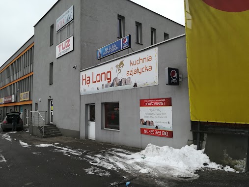
Ha Long
Biznesowa 2, Radom
Bar
read more
989 m
BAR KUBUŚ
Tadeusza Kościuszki 8A, Radom
Bar
read more
1.019 km
Kebab Marhaba
Romualda Traugutta 44, Radom
Bar
read more
1.04 km
Pub Zamłynianka
601, Generała Leopolda Okulickiego 48-50, Radom
Bar
read more
1.066 km
Piwiarnia
Żeromskiego 15, Radom
Bar
read more
1.086 km
Before Shot Bar
Stefana Żeromskiego 19, Radom
Bar
read more
1.139 km
Bar
Stańczyka 19, Radom
Bar
read more
1.252 km
Nasza Szkapa
Dowkontta 2/4, Radom
Bar
read more
1.259 km
Kuźnia. Bar
Jacka Malczewskiego 9/11, Radom
Bar
read more
1.293 km
Saymon Shot&bar
marsz. Ferdynanda Focha 5, Radom
Bar
read more
1.305 km
Pod Fontannami
Żeromskiego 37, Radom
Bar
read more
1.397 km
Sajmon. Bar
marsz. Ferdynanda Focha, Radom
Bar
read more
1.398 km
Piwiarnia
Radom
Bar
read more
1.449 km
BAR MATERDEJA
Bolesława Limanowskiego 124, Radom
Bar
read more
1.484 km
Bar Głodny Królik
Jacka Malczewskiego 21, Radom
Bar
read more
1.682 km
Cargo GastroPub
Marii Curie-Skłodowskiej 4, Radom
Bar
read more
1.722 km
LUNCH FRESH
Mieczysława Niedziałkowskiego 16, Radom
Bar
read more
📑
all categories
Accounting
Administrative area level 1
Administrative area level 2
Airport
Amusement park
Aquarium
Art gallery
Atm
Bakery
Bank
Bar
Beauty salon
Bicycle store
Book store
Bowling alley
Bus station
Cafe
Campground
Car dealer
Car rental
Car repair
Car wash
Casino
Cemetery
Church
City hall
Clothing store
Colloquial area
Convenience store
Courthouse
Dentist
Department store
Doctor
Electrician
Electronics store
Embassy
Finance
Fire station
Florist
Food
Funeral home
Furniture store
Gas station
General contractor
Grocery or supermarket
Gym
Hair care
Hardware store
Health
Hindu Temple
Home goods store
Hospital
Insurance agency
Intersection
Jewelry store
Laundry
Lawyer
Library
Light rail station
Liquor store
Local government office
Locality
Locksmith
Lodging
Meal delivery
Meal takeaway
Mosque
Movie rental
Movie theater
Moving company
Museum
Natural feature
Neighborhood
Night club
Painter
Park
Parking
Pet store
Pharmacy
Physiotherapist
Place of worship
Plumber
Point of interest
Police
Political
Post office
Premise
Real estate agency
Restaurant
Roofing contractor
Route
Rv park, camping
School
Shoe store
Shopping mall
Spa
Stadium
Storage
Store
Subpremise
Subway station
Supermarket
Synagogue
Taxi stand
Train station
Transit station
Travel agency
University
Veterinary care
Zoo
administrative area level 3
sublocality level 1
↑