Bar nearby Bar Niedźwiedź
Coronavirus disease (COVID-19) Situation
confirmed cases
6661991
deaths
120598
Poland
Bar nearby Bar Niedźwiedź
Bar Niedźwiedź
15, Wandy, 40-322, Katowice, Katowice, PL Poland
contacts phone
:
+48
website:
bar-niedzwiedzkatowice.business.site
Latitude:
50.2691419
, Longitude:
19.0810921
larger map & directions
read more
nearest Bar
1.003 km
Mr Hamburger
Al. Roździeńskiego, Katowice
Bar
read more
1.129 km
Kurczak. Bar. Falkus S.
Bednorza 3, Katowice
Bar
read more
1.278 km
Fun Fruit Bistro
Strzelców Bytomskich 17, Katowice
Bar
read more
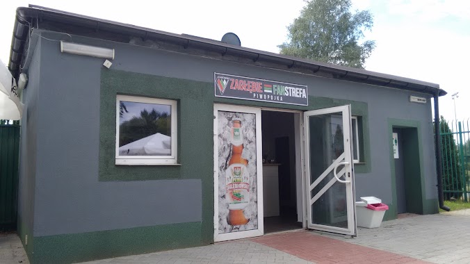
1.932 km
Zagłębie Fanstrefa Piwopojka
Sosnowiec
Bar
read more
2 km
Duet s.c. Drinkbar
1 Maja 117, Katowice
Bar
read more
2.209 km
PUB Atmosfera
Kordonowa 21, Sosnowiec
Bar
read more
2.221 km
Wake Zone Bar
Unnamed Road
Bar
read more
2.82 km
Drink Bar ZYG-ZAK
Zamkowa 1, Katowice
Bar
read more
2.958 km
Konsorcjum
Budowlana 19, Siemianowice Śląskie
Bar
read more
2.986 km
Auto
Katowice
Bar
read more
2.99 km
Pub Naftowa
35, Naftowa, Sosnowiec
Bar
read more
3.011 km
Hawana
Hanki Ordonówny 24, Sosnowiec
Bar
read more
3.396 km
Wspólna. Pub
Wspólna 3A, Sosnowiec
Bar
read more
3.475 km
Underground Pub
Warszawska 1, Sosnowiec
Bar
read more
3.767 km
Bar Dziupla
Sosnowiec
Bar
read more
3.792 km
Sztauwajery
Pułaskiego 71, Katowice
Bar
read more
3.952 km
Piwniczka
Staropogońska 69, Sosnowiec
Bar
read more
4.154 km
Piwiarnia Warki
Mariacka 6, Katowice
Bar
read more
4.236 km
Bar Euforia
Sowińskiego 5A, Katowice
Bar
read more
4.303 km
Chilli
Dyrekcyjna 3, Katowice
Bar
read more
4.863 km
Istambul Kebab
3 Maja 33, Katowice
Bar
read more
4.949 km
Czerwone Różowe Białe
Żwirki i Wigury 5, Katowice
Bar
read more
4.968 km
Galeria Libero
Powstańców 3, Katowice
Bar
read more
5.225 km
Resto&Pub Kredens
Okrężna 19, Siemianowice Śląskie
Bar
read more
5.527 km
Bar Śmigło
Francuska 181, Katowice
Bar
read more
📑
all categories
Accounting
Administrative area level 1
Administrative area level 2
Airport
Amusement park
Aquarium
Art gallery
Atm
Bakery
Bank
Bar
Beauty salon
Bicycle store
Book store
Bowling alley
Bus station
Cafe
Campground
Car dealer
Car rental
Car repair
Car wash
Casino
Cemetery
Church
City hall
Clothing store
Colloquial area
Convenience store
Courthouse
Dentist
Department store
Doctor
Electrician
Electronics store
Embassy
Finance
Fire station
Florist
Food
Funeral home
Furniture store
Gas station
General contractor
Grocery or supermarket
Gym
Hair care
Hardware store
Health
Hindu Temple
Home goods store
Hospital
Insurance agency
Intersection
Jewelry store
Laundry
Lawyer
Library
Light rail station
Liquor store
Local government office
Locality
Locksmith
Lodging
Meal delivery
Meal takeaway
Mosque
Movie rental
Movie theater
Moving company
Museum
Natural feature
Neighborhood
Night club
Painter
Park
Parking
Pet store
Pharmacy
Physiotherapist
Place of worship
Plumber
Point of interest
Police
Political
Post office
Premise
Real estate agency
Restaurant
Roofing contractor
Route
Rv park, camping
School
Shoe store
Shopping mall
Spa
Stadium
Storage
Store
Subpremise
Subway station
Supermarket
Synagogue
Taxi stand
Train station
Transit station
Travel agency
University
Veterinary care
Zoo
administrative area level 3
sublocality level 1
↑