Bar nearby Bar Maredo
Coronavirus disease (COVID-19) Situation
confirmed cases
6661991
deaths
120598
Poland
Bar nearby Bar Maredo
Bar Maredo
Grunwaldzka 287, Jaworzno Polen
contacts phone
:
+48
Latitude:
50.2255911
, Longitude:
19.2352998
read more
nearest Bar
1.49 km
GastroBarT Jaworzno
Grunwaldzka 231, Jaworzno
Bar
read more
1.967 km
Club Corner
Towarowa 50, Jaworzno
Bar
read more
3.345 km
Pub Relax
Paderewskiego 14, Jaworzno
Bar
read more
3.406 km
Ponad.To
Ignacego Paderewskiego 8, Jaworzno
Bar
read more
3.503 km
CLUB NOVA
Grunwaldzka 82, Jaworzno
Bar
read more
3.53 km
Kastamonu kebab
Grunwaldzka 82, Jaworzno
Bar
read more
3.532 km
Ogródek Piwny
Jaworzno
Bar
read more
3.764 km
Before
Słowackiego 2/2, 43-600
Bar
read more
3.768 km
Ministerstwo Śledzia i Wódki
Juliusza Słowackiego 2, Jaworzno
Bar
read more
3.781 km
Tradycyjne zapiekanki z pieca
Rynek Główny 3, Jaworzno
Bar
read more
3.869 km
Pub Retro
Księdza Stanisława Stojałowskiego 4, Jaworzno
Bar
read more
3.938 km
Pub Cesky Sen
Pocztowa 9, Jaworzno
Bar
read more
4.218 km
Winners Sports Bar
Jaworzno
Bar
read more
4.231 km
Buda Kebab
600, Grunwaldzka 28, Jaworzno
Bar
read more
4.343 km
Kebab Grill
Orląt Lwowskich 138, Sosnowiec
Bar
read more
5.096 km
Witek
Benedykta Dybowskiego 29, Sosnowiec
Bar
read more
5.246 km
MOHITO PUB CAFE
Benedykta Dybowskiego 53, Sosnowiec
Bar
read more
8.116 km
Bar pod strzecha
Unnamed Road
Bar
read more
9.632 km
Underground Pub
Warszawska 1, Sosnowiec
Bar
read more
11.069 km
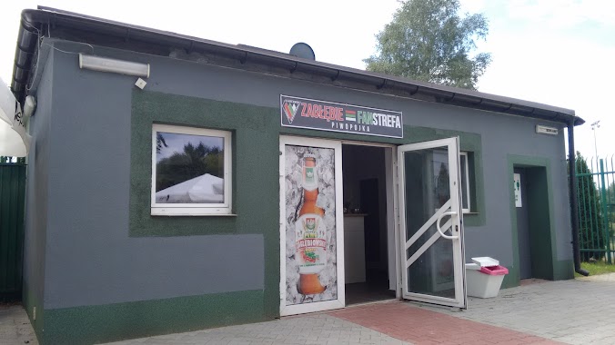
Zagłębie Fanstrefa Piwopojka
Sosnowiec
Bar
read more
11.672 km
Pizzeria-Trattoria Stonehenge
Jana III Sobieskiego 7a, Dąbrowa Górnicza
Bar
read more
12.424 km
Mr Hamburger
Al. Roździeńskiego, Katowice
Bar
read more
13.143 km
Fun Fruit Bistro
Strzelców Bytomskich 17, Katowice
Bar
read more
14.719 km
Bar Euforia
Sowińskiego 5A, Katowice
Bar
read more
15.339 km
Piwiarnia Warki
Mariacka 6, Katowice
Bar
read more
📑
all categories
Accounting
Administrative area level 1
Administrative area level 2
Airport
Amusement park
Aquarium
Art gallery
Atm
Bakery
Bank
Bar
Beauty salon
Bicycle store
Book store
Bowling alley
Bus station
Cafe
Campground
Car dealer
Car rental
Car repair
Car wash
Casino
Cemetery
Church
City hall
Clothing store
Colloquial area
Convenience store
Courthouse
Dentist
Department store
Doctor
Electrician
Electronics store
Embassy
Finance
Fire station
Florist
Food
Funeral home
Furniture store
Gas station
General contractor
Grocery or supermarket
Gym
Hair care
Hardware store
Health
Hindu Temple
Home goods store
Hospital
Insurance agency
Intersection
Jewelry store
Laundry
Lawyer
Library
Light rail station
Liquor store
Local government office
Locality
Locksmith
Lodging
Meal delivery
Meal takeaway
Mosque
Movie rental
Movie theater
Moving company
Museum
Natural feature
Neighborhood
Night club
Painter
Park
Parking
Pet store
Pharmacy
Physiotherapist
Place of worship
Plumber
Point of interest
Police
Political
Post office
Premise
Real estate agency
Restaurant
Roofing contractor
Route
Rv park, camping
School
Shoe store
Shopping mall
Spa
Stadium
Storage
Store
Subpremise
Subway station
Supermarket
Synagogue
Taxi stand
Train station
Transit station
Travel agency
University
Veterinary care
Zoo
administrative area level 3
sublocality level 1
↑